graphic-art, print, engraving
#
graphic-art
#
baroque
# print
#
landscape
#
engraving
#
watercolor
Dimensions: height 515 mm, width 602 mm
Copyright: Rijks Museum: Open Domain
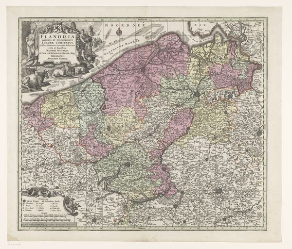
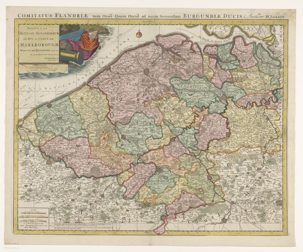
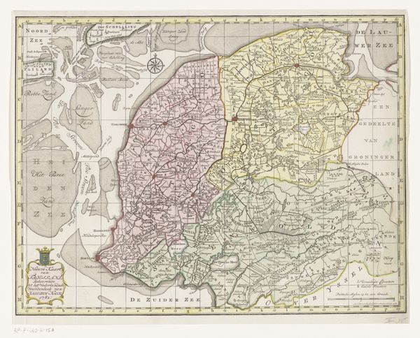
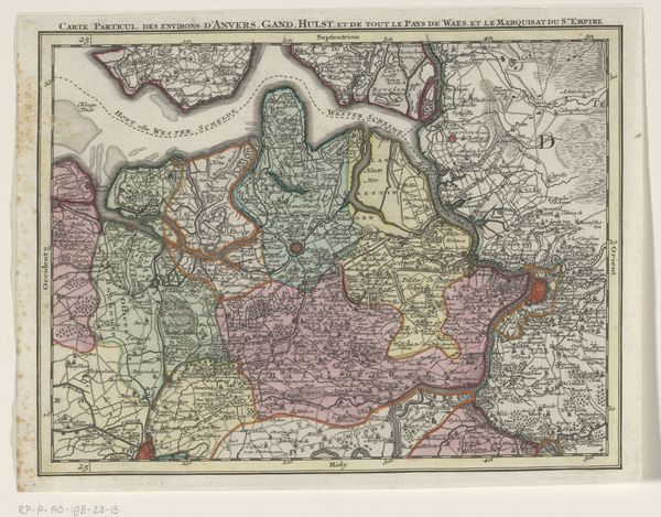
This is an anonymous map of the County of Flanders. Maps, such as this one, reflect not just geographical knowledge, but also the complex dance between power, identity, and representation. They are a cultural product, deeply embedded within the history of colonialism and nation-building. Flanders, the northern region of Belgium, has seen centuries of shifting borders, wars, and cultural exchange. This map embodies a specific moment in that history; where cartography was as much about claiming territory as it was about understanding it. Notice how the map meticulously details cities and boundaries, tools used to create a sense of ownership and control over a region. For the people living in Flanders, this map would have represented a tangible connection to their homeland. It's a symbol of belonging, but also a tool of governance. Consider how maps like these have been used to define who belongs and who is excluded, shaping not just the land but also the lives of the people who inhabit it.
Comments
No comments
Be the first to comment and join the conversation on the ultimate creative platform.
More like this