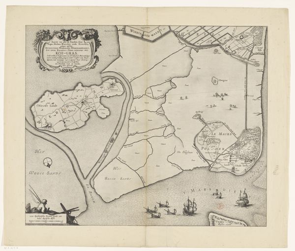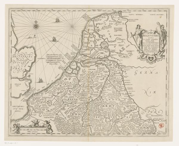
1697 - 1725
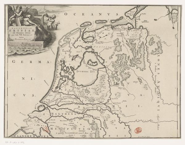
Historische kaart van Nederland met de gebieden van de Bataven en Friezen
Listen to curator's interpretation
Curatorial notes
Editor: So, this print is entitled "Historische kaart van Nederland met de gebieden van de Bataven en Friezen," or a historical map of the Netherlands with the territories of the Batavians and Frisians, created sometime between 1697 and 1725 by Gerrit de Broen. It’s amazing to see the early mapping of the Netherlands. What historical perspectives does this map bring to light for you? Curator: What immediately strikes me is the construction of national identity embedded within cartography. This map isn’t just presenting geographical information; it’s actively shaping a narrative about the Dutch Golden Age. Notice how the Batavians and Frisians are emphasized – framing the Dutch as inheritors of this glorious ancient past. How do you think that narrative would be received at the time? Editor: I guess it would legitimize the current political landscape and solidify a shared history, which is compelling considering the Dutch Republic was relatively new at this point. Curator: Precisely! And look at the ornamental details – the figures in the cartouche, the flourishes in the lettering. These aren't just decorative; they reinforce the authority and grandeur of the map, and by extension, the nation it represents. Are they drawing from actual historical depictions, or do you get a sense it’s somewhat fabricated? Editor: They seem idealized. It definitely feels more like a constructed image of the past. What is the importance of displaying such maps? Curator: Maps like these were more than navigational tools; they served as powerful statements of ownership and control. They reinforced a sense of national pride but also served political ends. They show not just where places are, but *who* belongs there and *why*. This print, reproduced and widely circulated, solidifies particular territorial claims and power structures. Editor: So, the map is as much about power as it is about place. It’s fascinating how seemingly objective documents can be so deeply political. I’ll definitely look at maps differently now. Curator: Indeed! Analyzing cartography unveils how closely history, identity, and politics are intertwined.