drawing, ink
#
drawing
#
landscape
#
ink
#
geometric
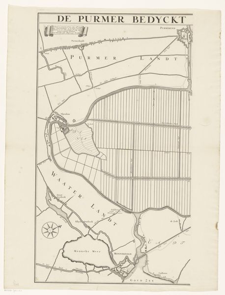
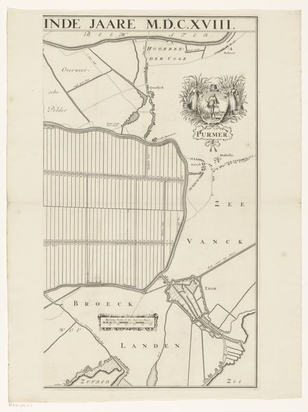
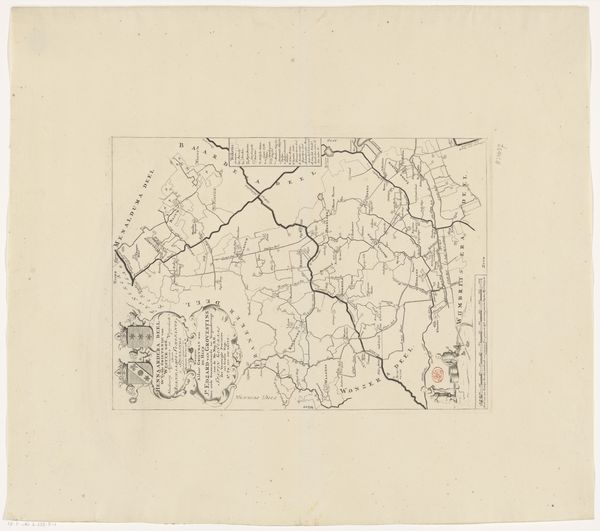
Dimensions: height 618 mm, width 470 mm
Copyright: Rijks Museum: Open Domain
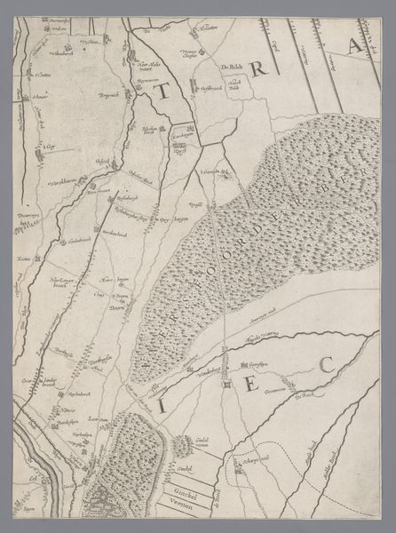
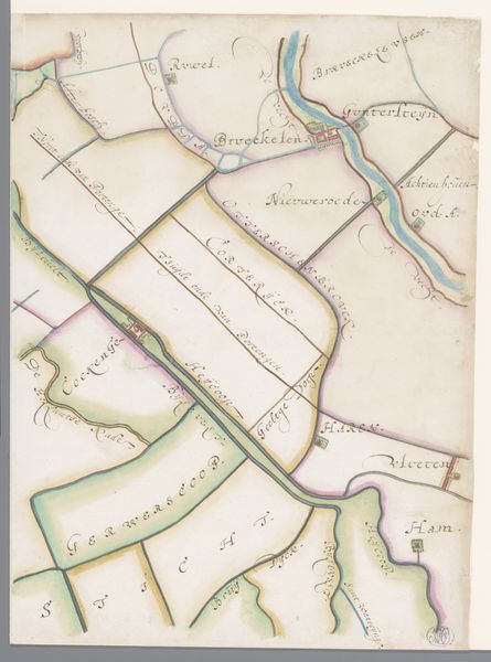
Cornelis Danckerts de Rij etched this map of the Gooi region in the 17th century, a meticulous dance between land and water. The windmills dotting the landscape are more than mere machines. They are symbols of Dutch ingenuity, harnessing the primal forces of nature. Observe how these windmills, with their rotating sails, echo ancient solar symbols. Their rhythmic motion, a recurring motif across cultures, evokes notions of cyclical time and perpetual renewal. Consider the psychological impact: the windmill, a beacon of human endeavor against the vastness of nature, stirs feelings of both hope and vulnerability, reminding us of our precarious place in the world. This symbol has a powerful and enduring presence throughout history, continuously evolving yet eternally rooted in the human psyche.
Comments
No comments
Be the first to comment and join the conversation on the ultimate creative platform.
More like this