drawing, print, paper, ink, engraving
#
drawing
#
baroque
# print
#
landscape
#
paper
#
ink
#
engraving
Dimensions: height 196 mm, width 277 mm
Copyright: Rijks Museum: Open Domain
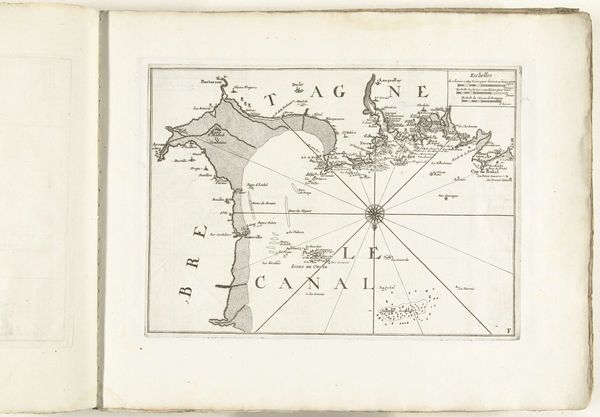
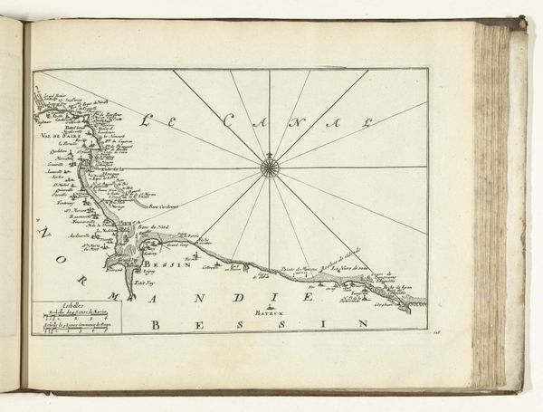
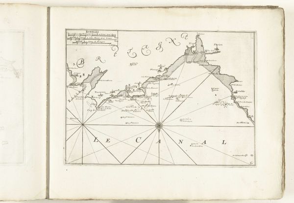
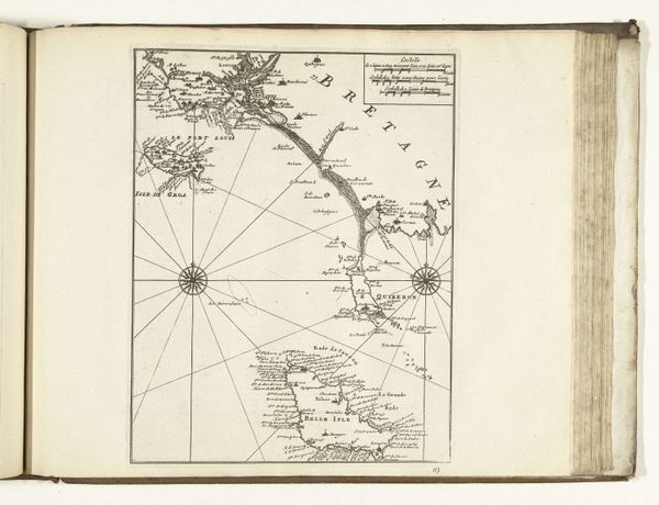
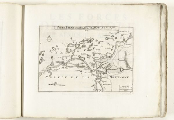
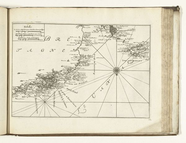
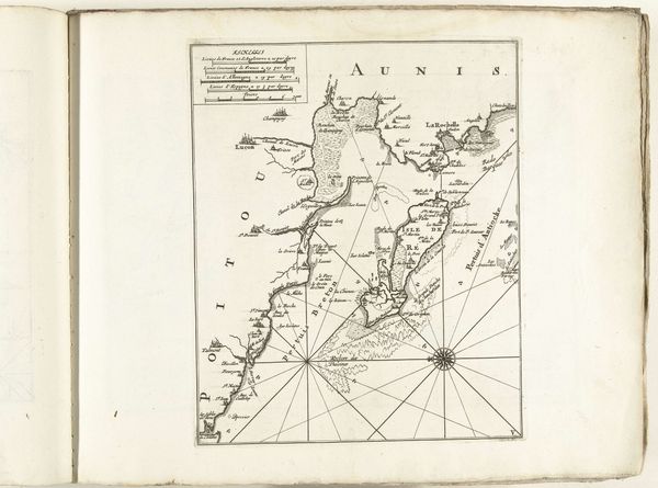
This map of the south coast of Brittany was made around 1702 by an anonymous artist. It is an engraving on paper, a commercial medium that was becoming increasingly important at the time. The process begins with an image cut into a metal plate, typically copper. Ink is then applied to the surface, pressed onto paper, leaving a precise impression. You can see the quality of the line work, and imagine the skilled hand of the engraver using various tools to create fine details. Consider the social context of this map. It speaks to the rise of exploration, trade, and colonial expansion. Cartography played a central role in these activities, enabling navigation, resource exploitation, and military strategy. The act of engraving itself, with its meticulous labor and reproduction, mirrors the standardization and commodification that were reshaping early modern society. Engraving, like all forms of making, is never neutral; it is a cultural practice loaded with social meaning.
Comments
No comments
Be the first to comment and join the conversation on the ultimate creative platform.
More like this