painting, watercolor
#
aged paper
#
toned paper
#
baroque
#
painting
#
landscape
#
watercolor
#
genre-painting
#
academic-art
#
natural palette
#
watercolor
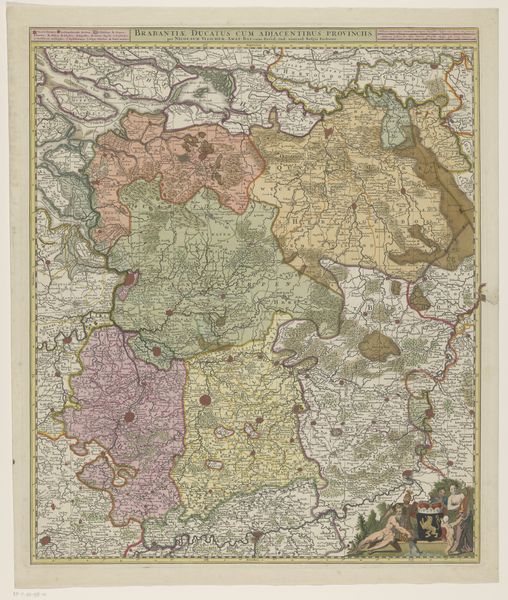
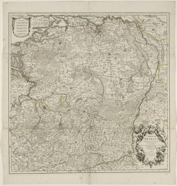
Dimensions: height 616 mm, width 509 mm
Copyright: Rijks Museum: Open Domain
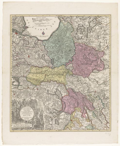
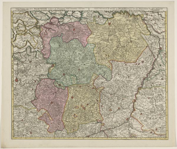
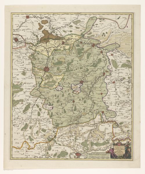
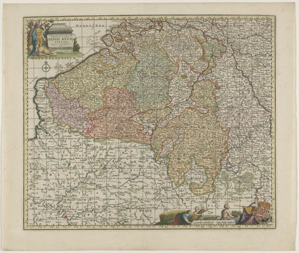
Editor: This is an interesting map titled "Kaart van het hertogdom Brabant" made sometime between 1697 and 1709. It's an anonymous watercolor piece. The detail is incredible, but there's a definite sense of... ownership about it, you know? What do you see in this piece, beyond just the geography? Curator: More than ownership, I see power. Consider the context: maps like these weren’t neutral documents. They were tools used to define, control, and even claim territory. Who was this map for? How might it have been used to consolidate power, legitimize colonial ambitions, or even suppress local identities and narratives? Editor: So, you're saying it’s less about accurately representing the land and more about asserting dominance? Curator: Precisely. Maps often reflect the biases and agendas of those who commission and create them. Note the borders, the labels, even the artistic style – they all contribute to a particular narrative about Brabant and its relationship to the surrounding areas. Think about who benefited from defining these boundaries and what cultural narratives are woven into the cartography itself. Does it, for example, represent different cultural identities within Brabant, or does it impose a homogenous view? Editor: That’s a perspective I hadn't fully considered. The visual authority of a map like this can easily obscure the human element, the lived experiences of those within the depicted area. It's easy to forget about the voices and lives erased by these seemingly objective lines. Curator: Exactly. The 'truth' of a map is always a constructed one. The map gives an external gaze on land. Thinking about cartography critically is like challenging power dynamics—it pushes us to acknowledge the complexities and histories that official representations often try to simplify. Editor: This really changes how I see maps, from just geographical tools to powerful cultural artifacts. Thank you.
Comments
No comments
Be the first to comment and join the conversation on the ultimate creative platform.
More like this