drawing, graphic-art, print, engraving
#
pen and ink
#
drawing
#
graphic-art
#
dutch-golden-age
# print
#
old engraving style
#
line
#
pen work
#
engraving
Dimensions: height 384 mm, width 491 mm
Copyright: Rijks Museum: Open Domain
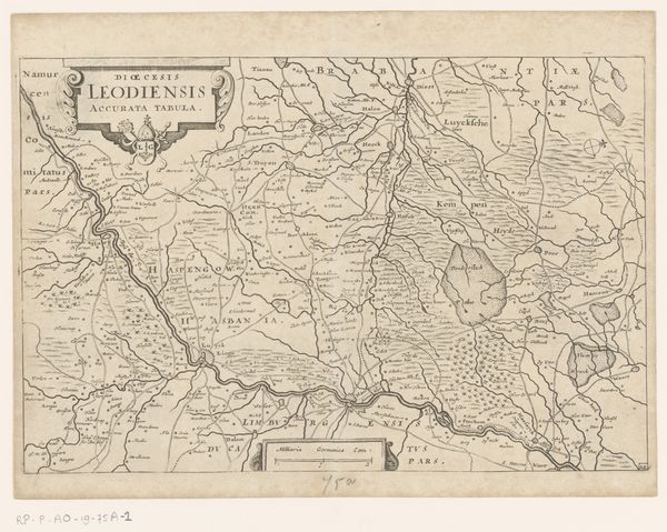
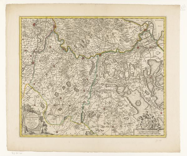
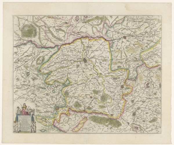
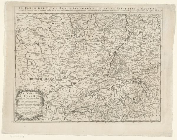
This undated map of Drenthe was made anonymously, and it provides insight into how land was perceived and organized in the early modern Netherlands. Maps such as this one aren’t just neutral depictions of geography; they’re cultural artifacts that reflect the values and priorities of the society that produced them. This map, with its detailed rendering of towns, roads, and waterways, speaks to the growing importance of trade and communication in the region. It's interesting to consider how the act of mapping itself – the decisions about what to include, how to represent it – shapes our understanding of the land. Who commissioned this map, and what was its intended use? Was it for military planning, resource management, or simply to assert territorial control? To fully understand this map, we need to delve into the archives and libraries. By studying historical documents, we can uncover the social, political, and economic forces that shaped its creation and its meaning.
Comments
No comments
Be the first to comment and join the conversation on the ultimate creative platform.
More like this