print, etching
#
map drawing
#
dutch-golden-age
# print
#
etching
#
old engraving style
#
landscape
#
etching
#
pen work
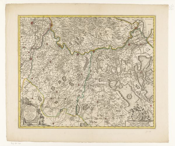
Dimensions: height 405 mm, width 508 mm
Copyright: Rijks Museum: Open Domain
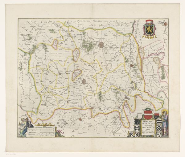
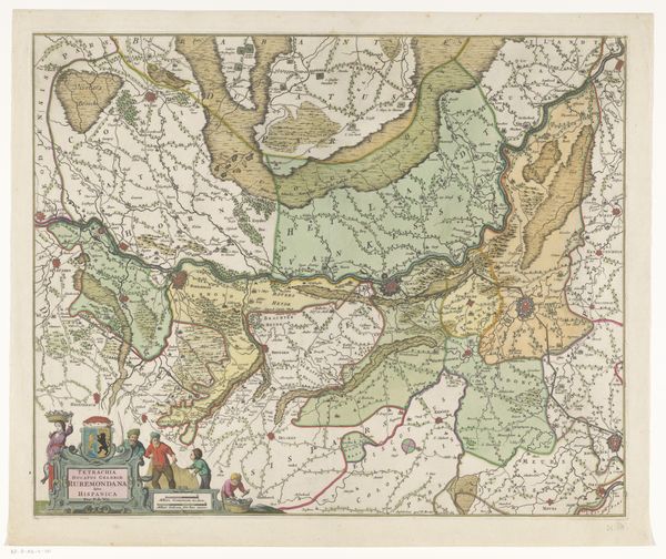
Editor: Here we have a print from 1633 entitled "Kaart van Frans-Vlaanderen," or "Map of French Flanders," from an anonymous artist. It’s an etching, seemingly delicate yet incredibly detailed. I'm immediately struck by the level of craftsmanship involved. How would you interpret this work? Curator: Ah, maps. Aren't they wonderful rabbit holes? This piece, beyond its cartographic function, feels deeply embedded in its time. I sense the age of exploration still lingering in the air, that thrilling yet also terrifying prospect of understanding and claiming the world. You almost feel you could stumble upon hidden symbols and stories interwoven with those rivers and towns, if you looked closely enough... What do you notice first about the style of the etching itself? Editor: It’s almost photorealistic, in a way. The lines create depth and texture, making the landscape feel almost…touchable. Curator: Exactly! The artist isn't just mapping a place; they're crafting a miniature world. Look at how the trees are rendered. Each one seems distinct, imbued with character. Consider too, the political dimension; borders are never neutral. What does it mean to map, to define territory in such a contested space at that time? I see ego, exploration, possession, and control. Editor: That's fascinating. I hadn't considered the politics inherent in something as seemingly objective as a map. It really puts it in a whole new light. Curator: These maps tell us as much about the people making them as the place they depict, you know? I see a striving for control and an undercurrent of anxious ambition; the start of something new, maybe even the seed of modern geographical study. What a thought, eh? Editor: Wow, I’ll never look at a map the same way again. Thanks for opening my eyes to the layers of meaning hidden beneath the surface! Curator: The pleasure was all mine. Happy travels!
Comments
No comments
Be the first to comment and join the conversation on the ultimate creative platform.
More like this