About this artwork
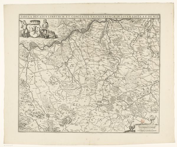
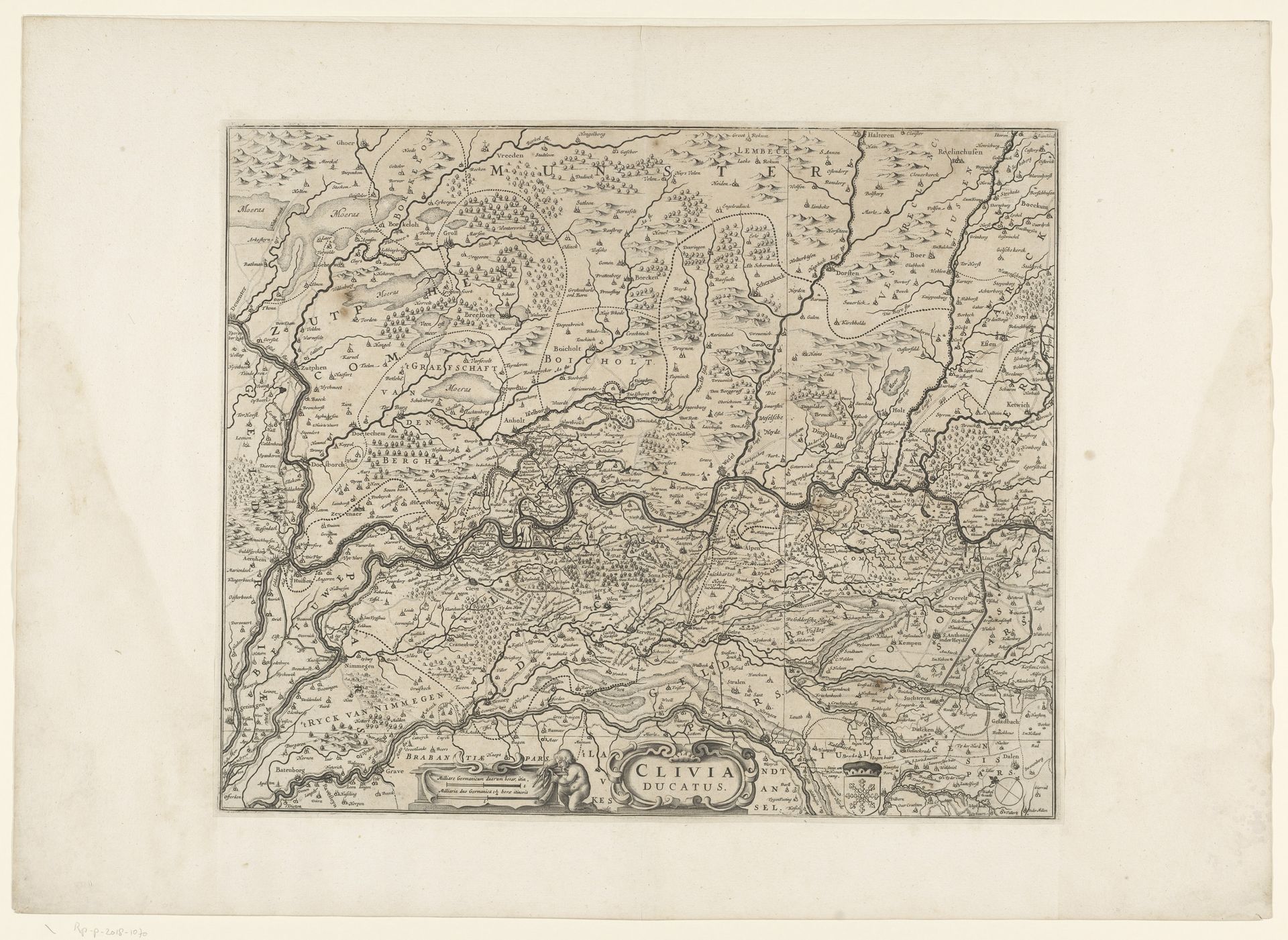
Editor: Here we have “Kaart van het hertogdom Kleef,” or "Map of the Duchy of Cleves," a fascinating print made between 1636 and 1680 by an anonymous artist. The detail achieved through the etching is really remarkable. What kind of historical narratives do you see unfolding here? Curator: This map is more than just a geographical representation; it’s a political statement etched in ink. Consider what it means to meticulously document and delineate territory during this era. What kind of power dynamics are at play when land ownership and borders become central to identity and governance? How might this level of detail reinforce a sense of ownership and control, both for those commissioning and those consuming such images? Editor: That's a perspective I hadn't considered. It seems to portray land not just as space but as property and a symbol of power. Curator: Precisely. Reflect on the concept of 'mapping' itself. Historically, cartography has often served as a tool for colonization and control. The very act of defining and labeling territories can erase indigenous or marginalized communities, replacing them with the perspectives of the dominant culture. Who decides what gets included, what’s emphasized, and even what’s left out, and what are the ramifications of those choices? Editor: It highlights the biases inherent in seemingly objective representations. This wasn't just about charting landscapes, but also about asserting dominance. It makes you question the reliability of these documents. Curator: Indeed. Understanding that no map is neutral and they actively reflect agendas helps us unpack how geographical space is socially and politically constructed. This helps us contextualize what we consider ‘landscape’ within the evolution of society. Editor: Thanks, I’m leaving with more questions than answers. Food for thought.
Artwork details
- Medium
- print, etching
- Dimensions
- height 408 mm, width 495 mm
- Location
- Rijksmuseum
- Copyright
- Rijks Museum: Open Domain
Tags
dutch-golden-age
etching
landscape
etching
geometric
Comments
No comments
About this artwork
Editor: Here we have “Kaart van het hertogdom Kleef,” or "Map of the Duchy of Cleves," a fascinating print made between 1636 and 1680 by an anonymous artist. The detail achieved through the etching is really remarkable. What kind of historical narratives do you see unfolding here? Curator: This map is more than just a geographical representation; it’s a political statement etched in ink. Consider what it means to meticulously document and delineate territory during this era. What kind of power dynamics are at play when land ownership and borders become central to identity and governance? How might this level of detail reinforce a sense of ownership and control, both for those commissioning and those consuming such images? Editor: That's a perspective I hadn't considered. It seems to portray land not just as space but as property and a symbol of power. Curator: Precisely. Reflect on the concept of 'mapping' itself. Historically, cartography has often served as a tool for colonization and control. The very act of defining and labeling territories can erase indigenous or marginalized communities, replacing them with the perspectives of the dominant culture. Who decides what gets included, what’s emphasized, and even what’s left out, and what are the ramifications of those choices? Editor: It highlights the biases inherent in seemingly objective representations. This wasn't just about charting landscapes, but also about asserting dominance. It makes you question the reliability of these documents. Curator: Indeed. Understanding that no map is neutral and they actively reflect agendas helps us unpack how geographical space is socially and politically constructed. This helps us contextualize what we consider ‘landscape’ within the evolution of society. Editor: Thanks, I’m leaving with more questions than answers. Food for thought.
Comments
No comments