print, engraving
#
dutch-golden-age
# print
#
landscape
#
genre-painting
#
engraving
#
watercolor
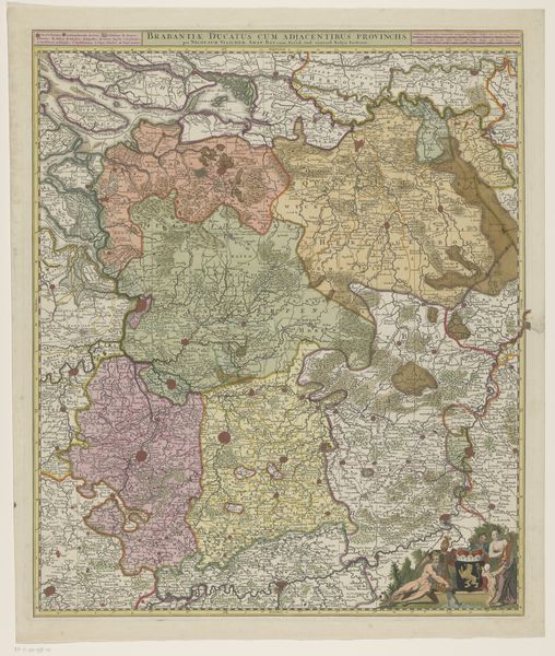
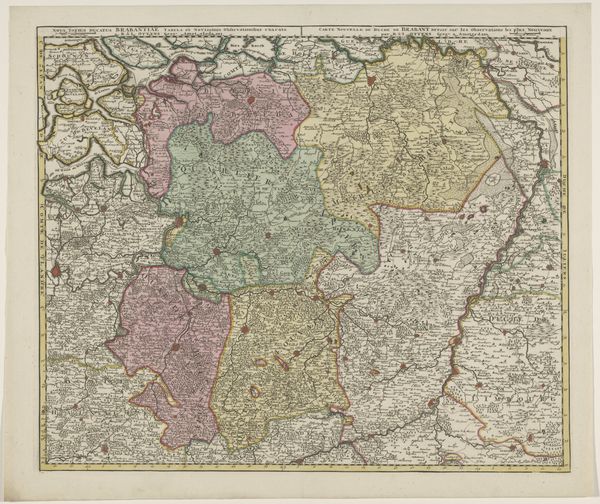
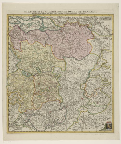
Dimensions: height 579 mm, width 507 mm
Copyright: Rijks Museum: Open Domain
This is an anonymous map of the Duchy of Brabant, made with engraving, etching and colours. This map gives insight into the region's boundaries and settlements, reflecting the social and political landscape of its time. Made in the Netherlands during a period of significant trade and exploration, cartography became a powerful tool for asserting control over land and resources. The map's detail not only served practical purposes for navigation and administration but also symbolized the Duchy's ambition to expand its influence. The choice to include specific towns and geographical features reflects what was deemed important for political and economic power. In this sense, the map reveals the values of the society that produced it. Understanding the map's historical context requires research into the economic systems and social hierarchies prevalent in the Duchy of Brabant. This map, like all art, is contingent on its social and institutional context.
Comments
No comments
Be the first to comment and join the conversation on the ultimate creative platform.
More like this