print, engraving
#
baroque
# print
#
landscape
#
history-painting
#
engraving
Dimensions: height 577 mm, width 485 mm
Copyright: Rijks Museum: Open Domain
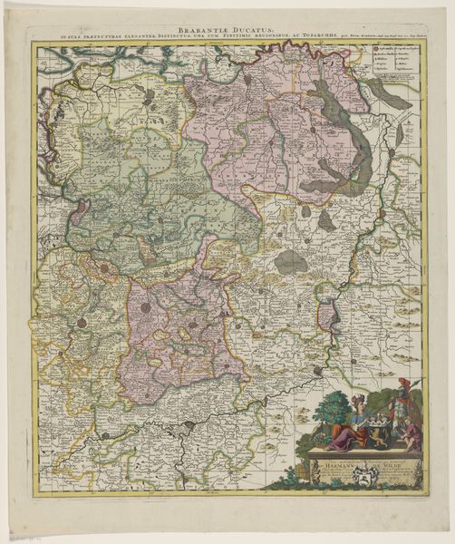
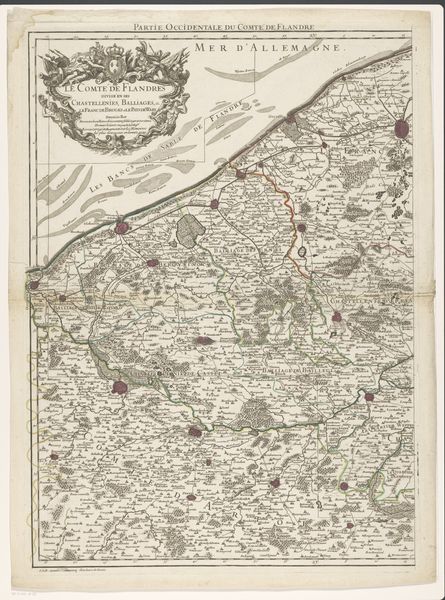
This is an anonymous map of the Leuven quarter, part of the Duchy of Brabant, its date unknown. The landscape unfolds as a network of soft greens and browns, structured by delicately etched lines indicating rivers, roads, and borders. These lines create a semiotic system, defining not just physical space but also political and social demarcations. Consider how the composition, almost a mosaic of natural and man-made features, challenges our perception of space. The arrangement of forests, waterways, and settlements invites us to ponder the interplay between nature and human intervention. The absence of a singular viewpoint encourages multiple readings, reflecting the complexities of regional identity and governance. Notice the subtle textures achieved through the etching technique. These details suggest a nuanced understanding of the territory and also act as a statement about the nature of cartography, as both a science and an art. This piece destabilizes our understanding of maps, prompting us to see them not just as representations of space but as constructions of power and knowledge.
Comments
No comments
Be the first to comment and join the conversation on the ultimate creative platform.
More like this