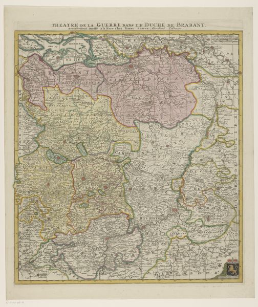
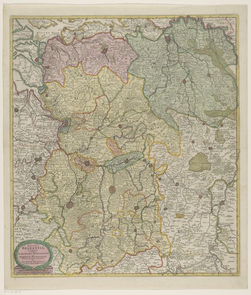
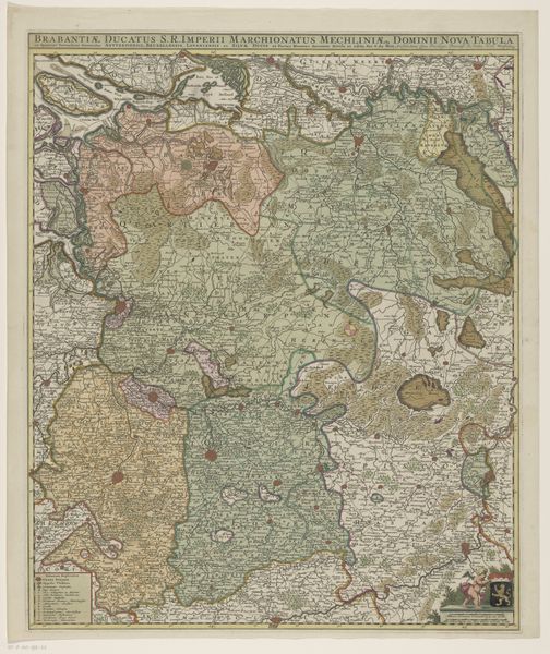
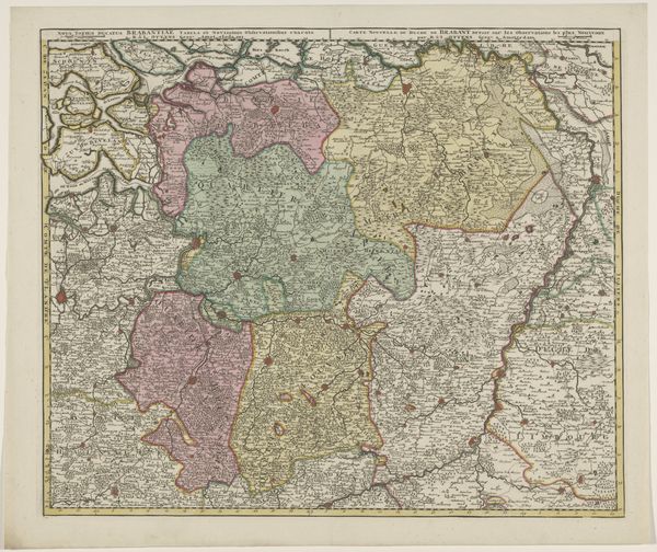
graphic-art, print, engraving
#
graphic-art
#
baroque
# print
#
landscape
#
cityscape
#
engraving
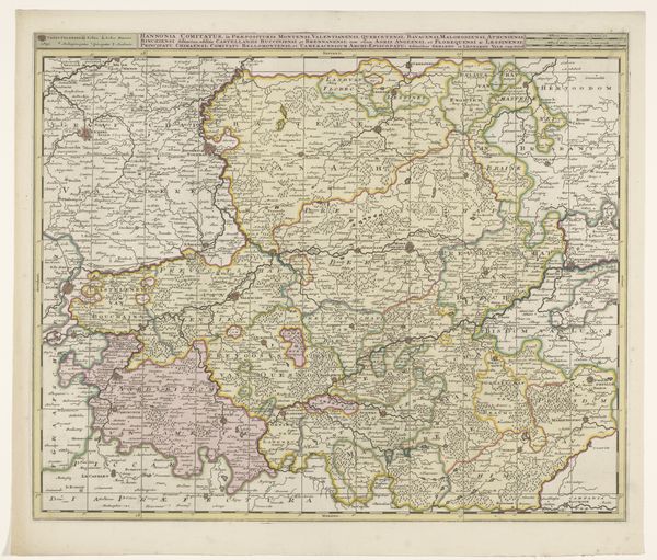
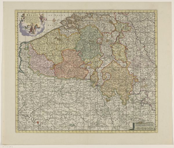
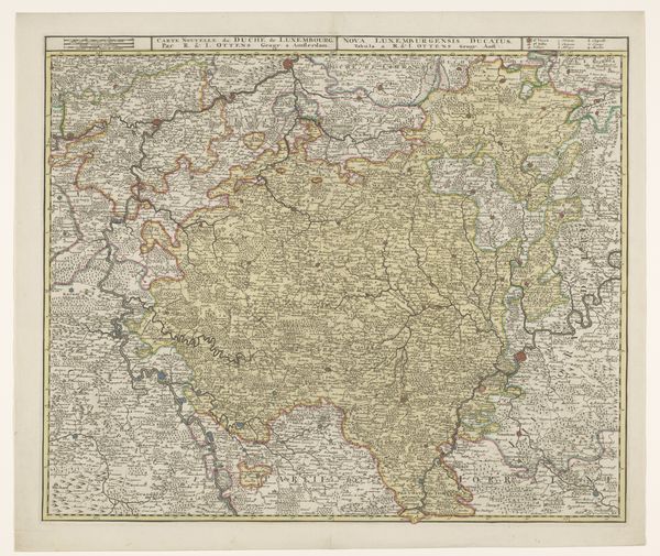
Dimensions: height 423 mm, width 1005 mm
Copyright: Rijks Museum: Open Domain
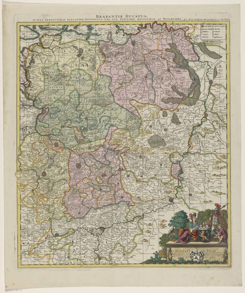
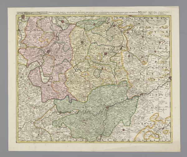
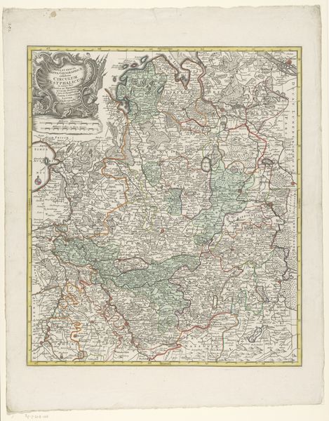
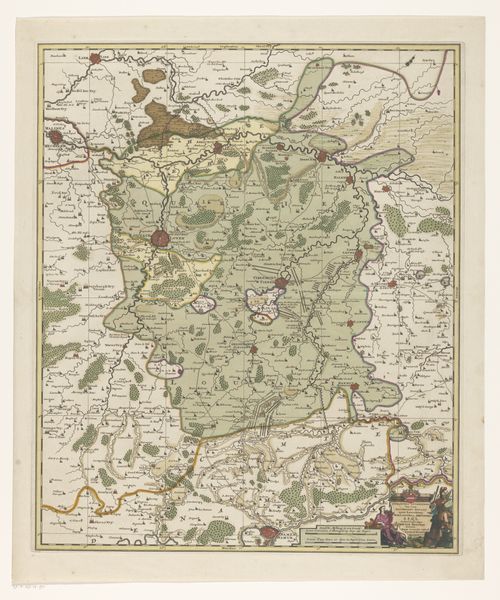
This map of Amsterdam and its surrounding areas was printed anonymously, using techniques that were revolutionary for their time. Printed maps like this one were made using metal plates - most likely copper - into which an image was incised. The plate would then be inked, and the surface wiped clean, leaving ink only in the incised lines. Paper was then pressed against the plate to create a print. The coloring was added later, by hand. The proliferation of printed maps in the early modern period reflects a growing mercantile culture, with traders and other professionals needing reliable information about geography and infrastructure. Amsterdam was a particularly important hub in this regard. Consider the enormous amount of labor involved in producing each impression – from the engraver to the printer to the colorist. All of them played a crucial role in shaping our understanding of the world. So, next time you look at a map, think about it not just as a representation of space, but as the product of complex social and economic relationships.
Comments
No comments
Be the first to comment and join the conversation on the ultimate creative platform.
More like this