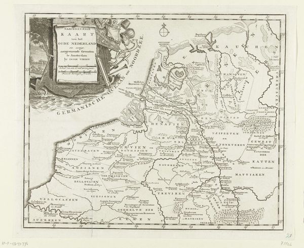
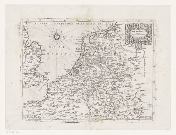
Historische kaart van de hertogdommen, graafschappen en bisdommen van Nederland 1853 - 1861
0:00
0:00
anonymous
Rijksmuseum
drawing, print, paper, engraving
#
drawing
#
parchment
# print
#
landscape
#
paper
#
geometric
#
history-painting
#
engraving
#
realism
Dimensions: height 200 mm, width 240 mm
Copyright: Rijks Museum: Open Domain
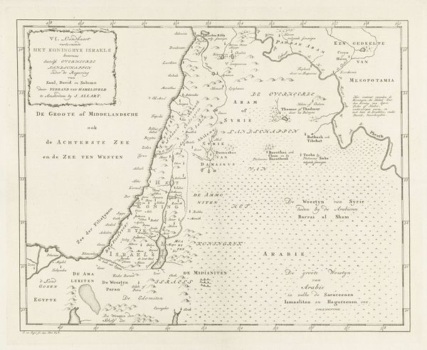
This anonymous map depicts the historical divisions of the Netherlands into duchies, counties, and dioceses. The map itself is a powerful symbol, a tool to assert control and understanding over a territory, much like a portrait of a ruler. Consider how maps throughout history have shifted from tools of exploration to instruments of power, shaping our understanding of the world. We see echoes of this in ancient Roman cartography, where maps served to mark the empire's dominion. Even today, digital mapping technologies influence our perception and navigation of space. The very act of mapping involves an imposition of order on the chaos of reality, mirroring the human drive to classify and control our environment. It's a continuous cycle—exploration, mapping, control—that reflects our ongoing dialogue with the world around us. In this way, this seemingly simple map resonates with deeper historical and psychological currents.
Comments
No comments
Be the first to comment and join the conversation on the ultimate creative platform.
More like this