graphic-art, print, paper, ink, engraving
#
graphic-art
#
dutch-golden-age
# print
#
old engraving style
#
paper
#
ink line art
#
ink
#
geometric
#
line
#
engraving
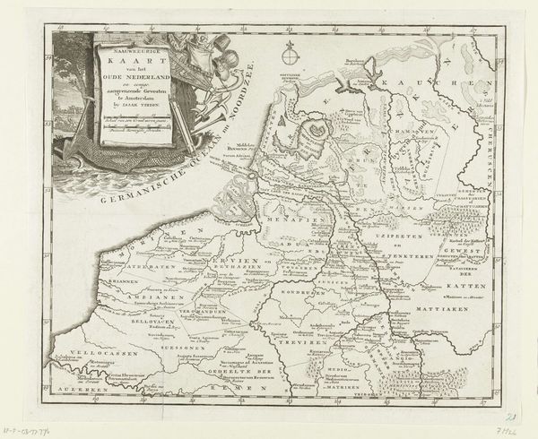
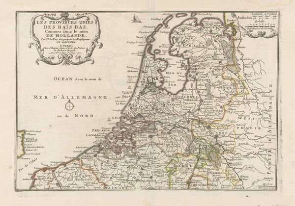
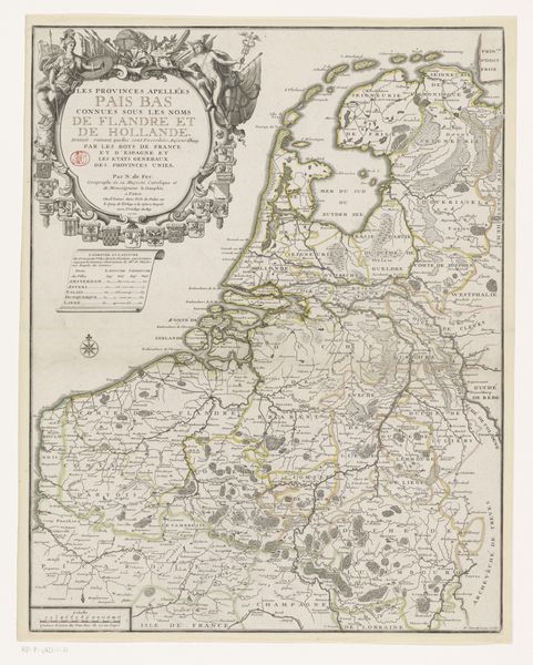
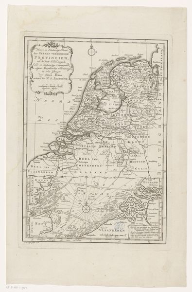
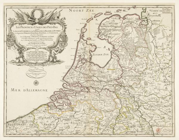
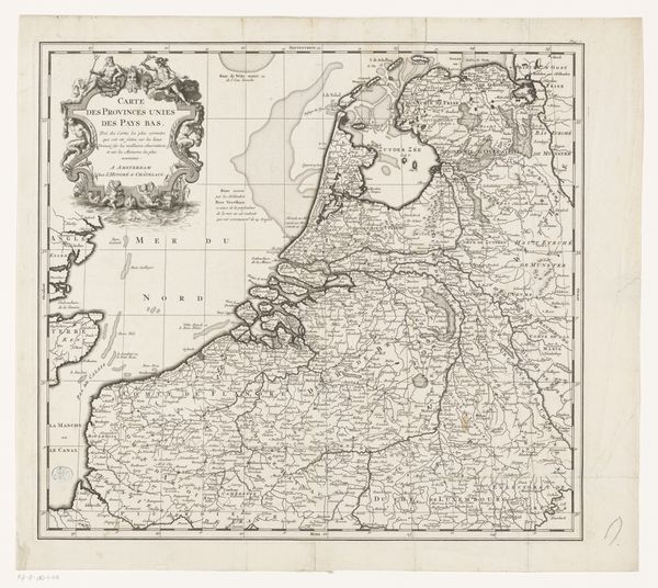
Dimensions: height 288 mm, width 330 mm
Copyright: Rijks Museum: Open Domain
This map of the Netherlands in the Middle Ages was created by an anonymous artist in Amsterdam, using an engraving technique. Maps like this weren't just about geography, they were powerful tools for shaping ideas about national identity. Consider when and where this map was made. The Netherlands had a complex history of regional identities and shifting political alliances. Mapping, in this context, becomes an act of imagining a unified nation, even if that unity didn't fully exist. The map presents a particular view of the past, emphasizing certain regions and downplaying others. This is not just a neutral representation of space; it is an interpretation of history with its own agenda. Cartography was supported by institutions such as the Dutch East and West India Companies and used to further their interests. To understand this map fully, we need to delve into the historical context: study the political events, social structures, and cultural movements of the time. Remember that art is never created in a vacuum; it's always shaped by the forces of history.
Comments
No comments
Be the first to comment and join the conversation on the ultimate creative platform.
More like this