drawing, print, engraving
#
drawing
#
map drawing
# print
#
landscape
#
geometric
#
history-painting
#
engraving
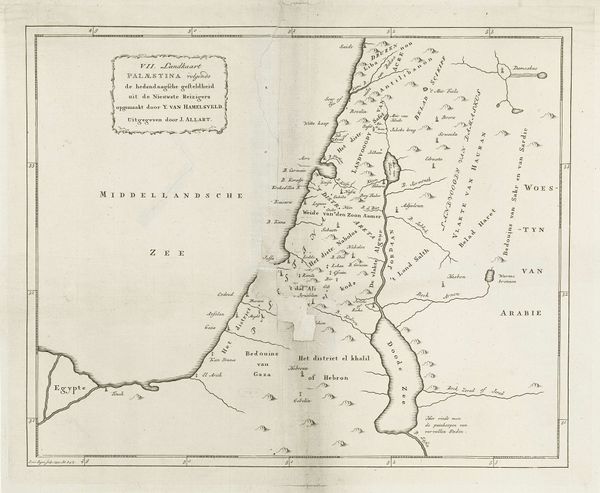
Dimensions: height 362 mm, width 443 mm
Copyright: Rijks Museum: Open Domain
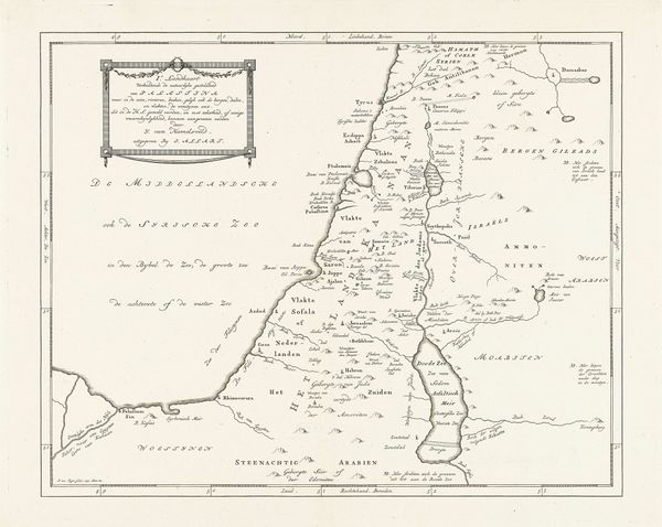
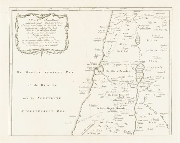
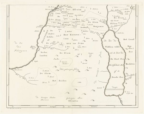
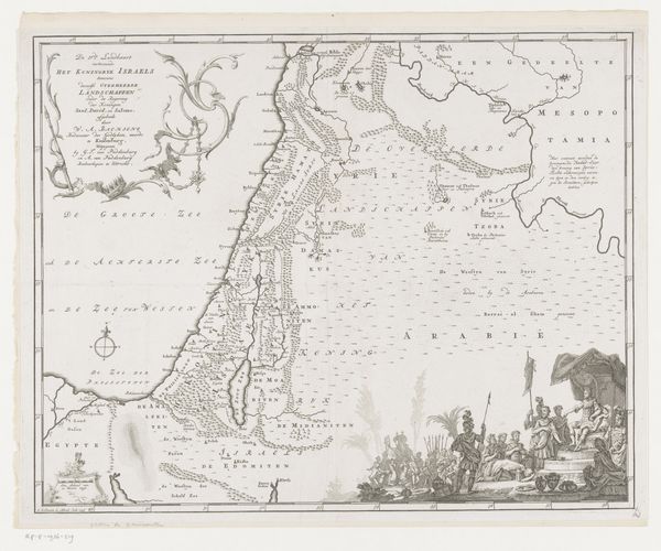
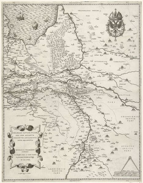
This map of Israel was made by Jan van Jagen, likely in the mid- to late-1700s, using engraving techniques. The map depicts the region during the reigns of Saul, David, and Solomon, reflecting a historical and perhaps religious understanding of the territory. Consider the cultural context of map-making in 18th-century Europe, particularly in the Netherlands, where cartography was a highly developed art and science. Maps weren’t just about geographical accuracy. They were tied to power, trade, and religious identity. The map's focus on ancient Israel suggests an interest in biblical history, possibly linked to the Dutch Republic's Protestant identity and its relationship to the Holy Land. The inclusion of various tribal lands and regions reflects a desire to categorize and understand the complex political landscape of the area. To fully understand the map, we can explore the history of Dutch cartography, religious attitudes toward the Holy Land, and the political dynamics of the time. By researching these elements, we can better appreciate the map as a cultural artifact shaped by specific social and institutional forces.
Comments
No comments
Be the first to comment and join the conversation on the ultimate creative platform.
More like this