drawing, print, paper
#
drawing
#
narrative-art
# print
#
paper
#
geometric
#
orientalism
Dimensions: height 448 mm, width 562 mm
Copyright: Rijks Museum: Open Domain
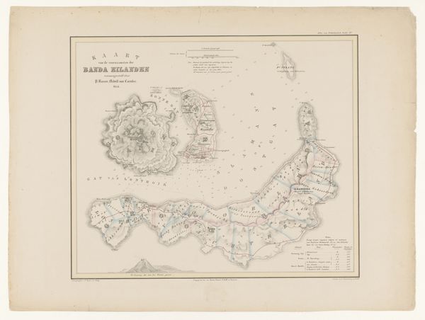
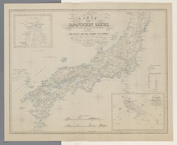
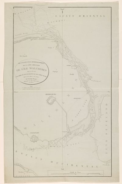
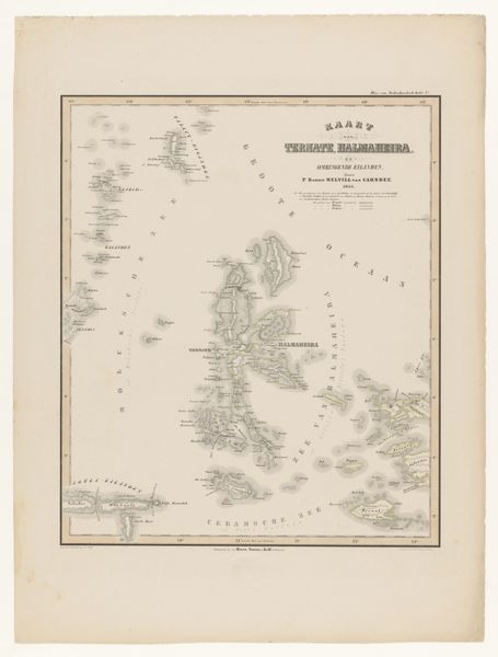
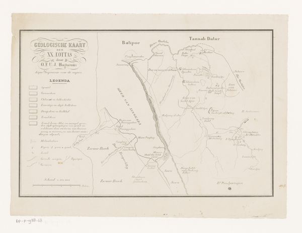
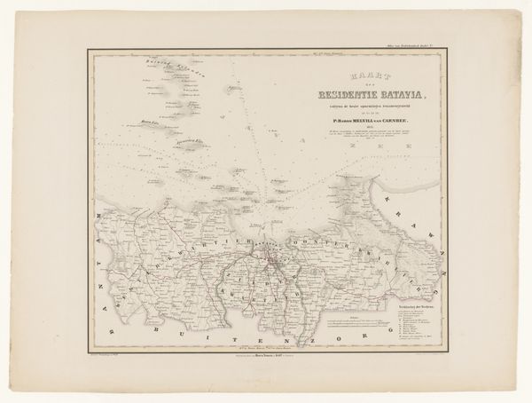
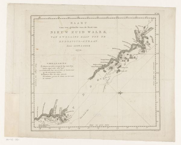
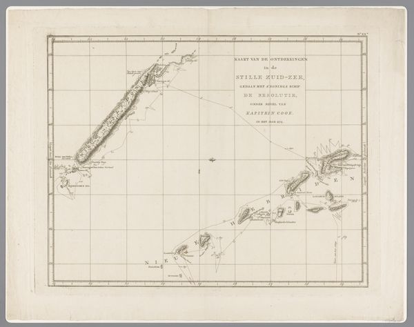
Curator: This delicate drawing, a print on paper, is titled "Kaart van Nederlands-Oost-Indië, deel rechtsboven," which translates to "Map of the Dutch East Indies, upper right part." It was created by Franciscus Josephus Ensinck in 1847. Editor: There's a curious detachment to this piece. The pale, almost ghostly gray tones lend a melancholic air to the precision of the map's rendering. The archipelago appears to float, suspended between defined borders and the unknown depths. Curator: Absolutely. Consider the political implications of mapping; The act of charting territory isn't just about geographical accuracy, but also about asserting control. This map was likely crucial for the Dutch administration of the East Indies, defining the space for resource extraction and governance. It speaks to a power dynamic. Editor: And visually, the emphasis on line, on demarcating spaces and establishing hierarchies, aligns with the colonial mindset of ordering and classifying. Even the calligraphic flourishes in the title suggest an aesthetic of control and display. The artist clearly uses geometric figures in the map structure. Curator: Indeed. Also, it is worth noticing the theme of Orientalism—visible not only through its subject matter and rendering of overseas lands, but also by employing visual vocabulary of mapping that inherently creates an ‘Other’ of a land and its people. Editor: It’s interesting that even such technical or supposedly objective representation still is highly designed in its emotional affect. As I was seeing its grayscale range with crisp lines, it felt clinical in an almost detached and alienating way, focusing more on delineating control, almost voiding emotional human connections to land or people. It is as if everything human has been erased except an administrative interest. Curator: A telling observation. Perhaps, by considering maps, diagrams and other similar representations in museums, we could reflect critically upon their political function, even centuries after their creation. Editor: Right. And I believe by carefully analyzing its lines, tones, composition, or the sheer artistry on display, can highlight something critical of the emotional resonance inherent to ostensibly impartial representation.
Comments
No comments
Be the first to comment and join the conversation on the ultimate creative platform.
More like this