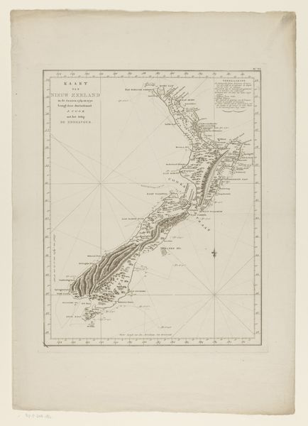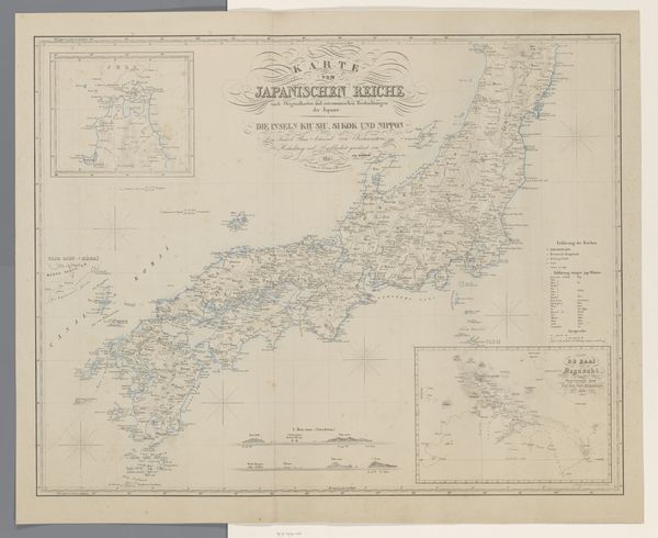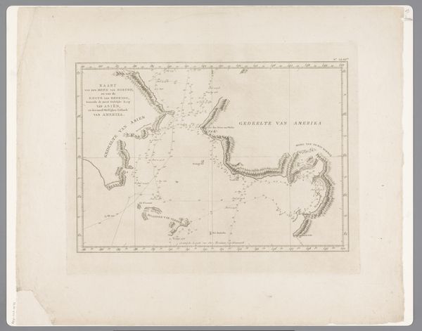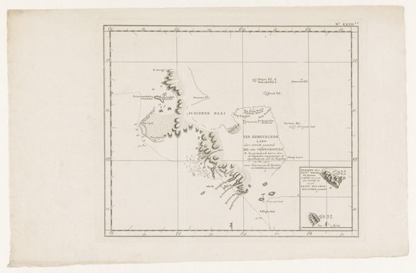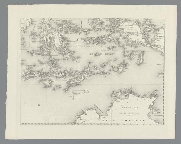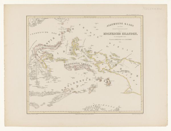
Kaart van de eilanden Halmahera, Ternate en overige eilanden in de Molukse Zee en Zee van Halmahera 1854
0:00
0:00
fcronenberg
Rijksmuseum
graphic-art, print, paper, engraving
#
graphic-art
#
ink paper printed
# print
#
old engraving style
#
paper
#
engraving
#
realism
Dimensions: height 535 mm, width 400 mm
Copyright: Rijks Museum: Open Domain
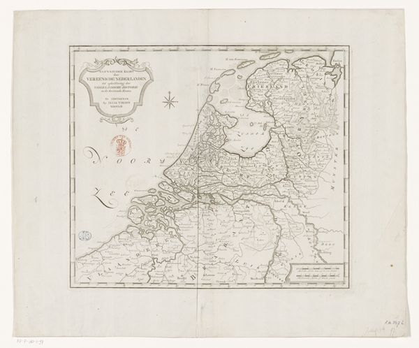
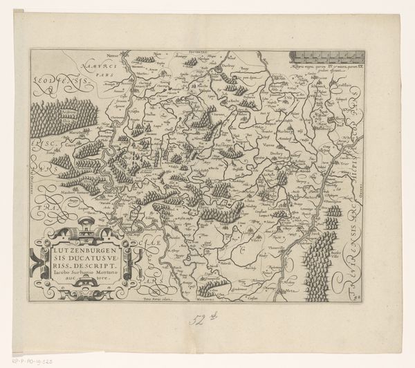
This is F. Cronenberg's map of Halmahera, Ternate, and the Moluccan Sea. Cartography is the act of visually symbolizing power and dominance by charting new lands, and asserting control over territories and resources. Consider the image of a map, a symbol of exploration and control. The act of mapping is not merely a scientific endeavor, but a cultural and psychological assertion. We can draw parallels with the ancient practice of creating cosmologies, as seen in medieval mappa mundi. These world maps placed the known world in a structured, often religiously symbolic framework. The blank spaces on the map can be psychologically potent, inviting projections of fear, desire, and the unknown. Similarly, in psychoanalysis, the "dark continent" of the unconscious beckons exploration and understanding. These maps are not merely geographical tools, but cultural artifacts loaded with historical, psychological, and symbolic meaning. In our collective memory, this desire for mapping and orienting ourselves transcends time.
Comments
No comments
Be the first to comment and join the conversation on the ultimate creative platform.
