drawing, print, engraving
#
drawing
# print
#
old engraving style
#
landscape
#
geometric
#
orientalism
#
engraving
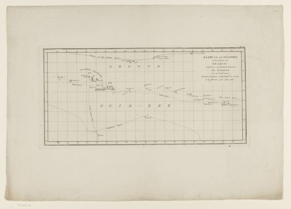
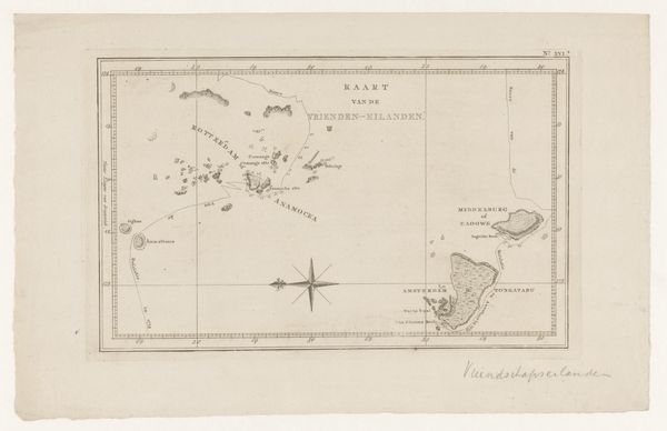
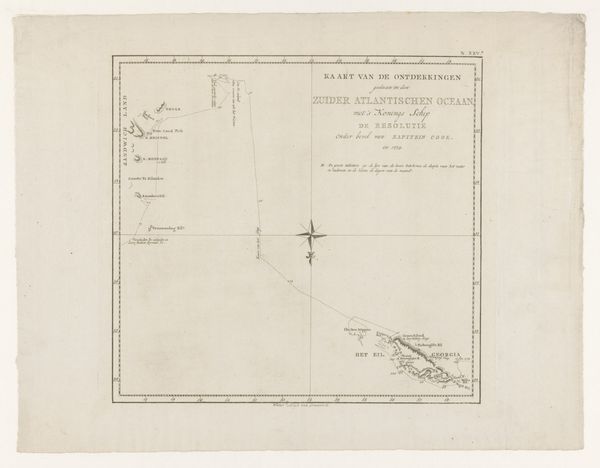
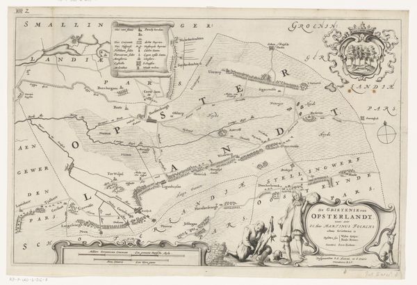
Dimensions: height 305 mm, width 453 mm
Copyright: Rijks Museum: Open Domain
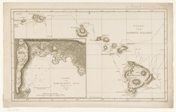
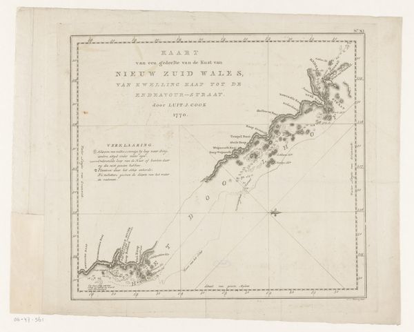
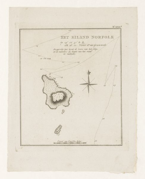
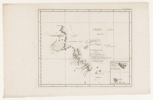
Editor: Here we have "Kaart van de Genootschapseilanden in Frans-Polynesië," a 1797 engraving by Cornelis van Baarsel. It's quite spare, almost ghostly. What strikes me is how empty the ocean seems around these carefully detailed islands. What do you see in it? Curator: Empty, yes, but pregnant with possibilities, I think! Look how those fragile lines etch out not just the land, but a whole worldview. This isn’t just geography, it’s empire trying to fix its gaze on paradise. What stories do you imagine unfolded upon those shores around this time? Tales of encounters, perhaps fraught with tension between navigation and domination... Editor: Oh, definitely. I guess it's easy to forget the human stories behind what looks like a purely scientific document. The neat lines seem so objective, yet somebody chose exactly what to include and how to depict it, right? Curator: Precisely. Think about the cartographer wrestling with how to represent what they *think* they see, versus what *is* there. A tension that dances even now, yes? I find myself wondering about the un-drawn lives already rooted in the land for millennia. Doesn't the map whisper to us? "Here Be Dragons"... both literally and figuratively! Editor: So, in a way, it's a self-portrait, not of the islands themselves, but of the mapmaker's cultural lens? I love that! Curator: Absolutely! It's a reflection of a moment frozen in ink – a reminder that every representation is also, undeniably, an interpretation. Editor: Well, I’ll never look at an old map the same way again! Thanks. Curator: And I now wonder at the stories beneath our very feet... Always a good result, wouldn't you agree?
Comments
No comments
Be the first to comment and join the conversation on the ultimate creative platform.
More like this