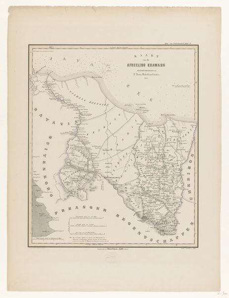
print, etching, graphite, engraving
# print
#
etching
#
landscape
#
etching
#
graphite
#
cityscape
#
engraving
Dimensions: height 371 mm, width 445 mm
Copyright: Rijks Museum: Open Domain
This is H. Alt’s “Kaart van Zuidoost-Australië”, or “Map of Southeast Australia”. This map offers a window into a past marked by the exploration and cartographic objectification of indigenous lands. Produced during a time of European colonial expansion, the map reflects the impulse to chart and claim territories, reducing complex ecosystems and indigenous homelands into two-dimensional representations. The map’s creation disregards the rich history and traditional land management practices of Aboriginal peoples, who had a deep, spiritual connection to the land for tens of thousands of years. Instead, it imposes a European perspective, renaming geographical features and drawing boundaries that would reshape the social and cultural landscape. The detailed mapping, in its own way, highlights the tension between the desire for knowledge and control, and the erasure of indigenous identities. This map therefore is both a historical artifact and a reminder of the power dynamics inherent in the act of mapping. It invites us to consider the perspectives and voices that have been historically marginalized.
Comments
No comments
Be the first to comment and join the conversation on the ultimate creative platform.
