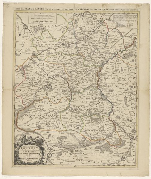
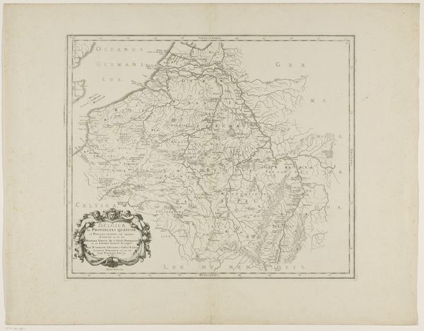
Kaart van het stroomgebied van de Rijn van Zwitserland naar Holland, 1797 1797
0:00
0:00
print, engraving
#
aged paper
# print
#
old engraving style
#
hand drawn type
#
landscape
#
river
#
pen-ink sketch
#
15_18th-century
#
sketchbook drawing
#
engraving
Dimensions: height 665 mm, width 397 mm
Copyright: Rijks Museum: Open Domain
Cornelis van Baarsel created this map of the Rhine River from Switzerland to Holland in 1797. It was a time of significant political upheaval in Europe. Van Baarsel, working within the Dutch cartographic tradition, wasn't just mapping a river, he was mapping power, trade, and cultural exchange. The Rhine wasn't simply a geographic feature; it was a boundary, a trade route, a source of life, and a stage for conflict. The map highlights how waterways are critical arteries linking communities, yet are also potential sites of division and dispute. Consider the human impact on this landscape. How did the communities living along the Rhine perceive their identities in relation to this river? How did the river shape their livelihoods and their understanding of the world? Ultimately, this map is a reminder of how we impose order and meaning onto the natural world, shaping our understanding of identity, power, and belonging.
Comments
No comments
Be the first to comment and join the conversation on the ultimate creative platform.
More like this