#
aged paper
#
toned paper
#
old engraving style
#
tea stained
#
personal sketchbook
#
pen work
#
sketchbook drawing
#
sketchbook art
#
botanical art
#
watercolor
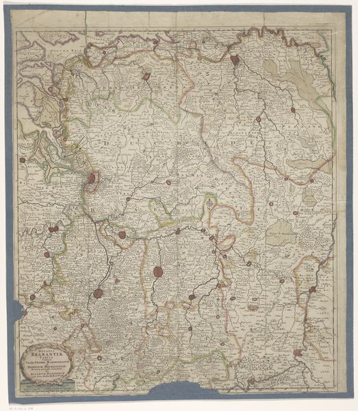
Dimensions: height 586 mm, width 506 mm
Copyright: Rijks Museum: Open Domain
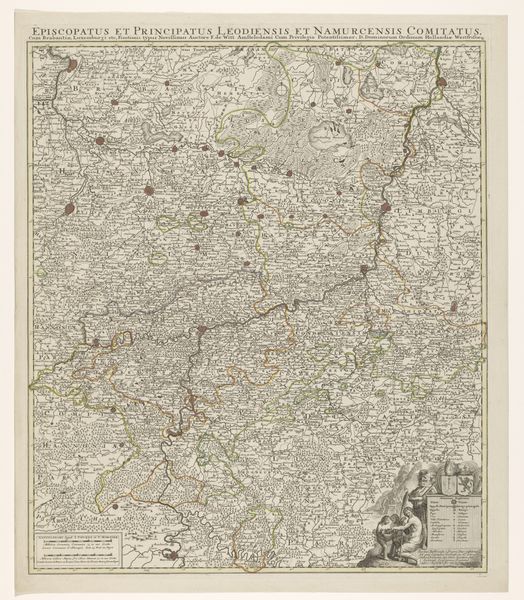
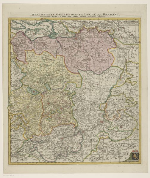
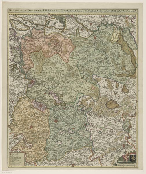
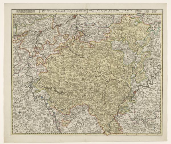
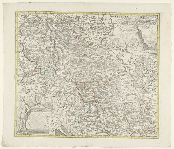
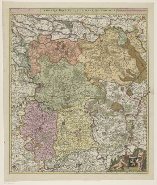
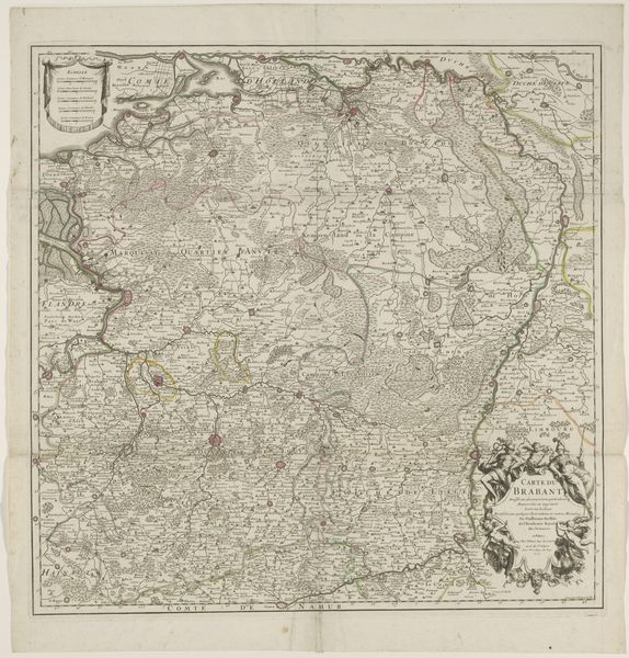
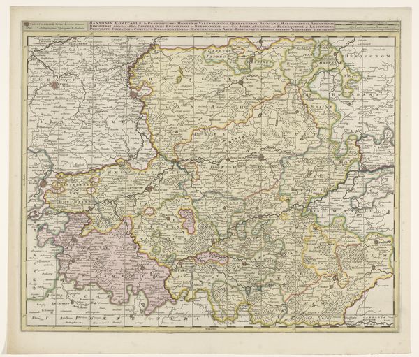
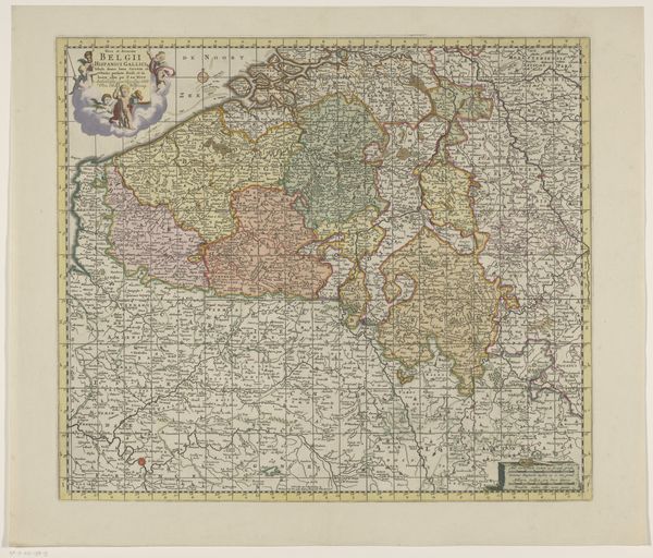
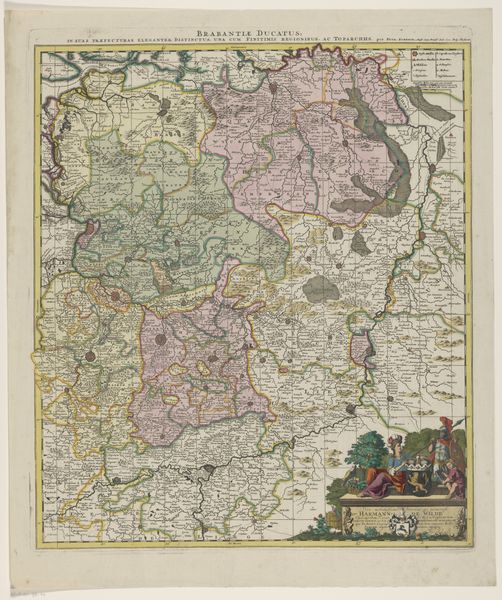
This is a map of Westphalia made by Tobias Conrad Lotter in the 18th century. At first glance, it's a geographical document, yet it is also a tapestry of symbols revealing our enduring quest to chart, comprehend, and control our world. Notice the elaborate cartouche, or ornamental title panel, framed by mythical figures and foliage. Such symbols are inherited from classical antiquity where maps served not only as tools for navigation but also as statements of power and knowledge. Consider the Roman maps depicting their expanding empire, or Ptolemy's "Geographia," rediscovered in the Renaissance, sparking a renewed interest in mapping the world. These maps are a legacy that continues to shape our perception of space and place. The map’s function is not purely objective, as the act of mapping itself is laden with psychological weight. It reflects our desire to impose order on the unknown. Borders are drawn, territories claimed, and landscapes tamed through representation. These acts resonate with our deepest psychological drives to define identity, establish belonging, and assert dominance. The desire to chart and understand the world is not linear, it resurfaces in different forms, reflecting our changing relationship with space and knowledge.
Comments
No comments
Be the first to comment and join the conversation on the ultimate creative platform.
More like this