drawing, print
#
drawing
#
map drawing
# print
#
geometric
#
regionalism
#
realism
Dimensions: height 483 mm, width 420 mm
Copyright: Rijks Museum: Open Domain
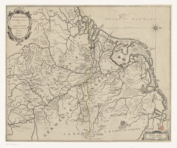
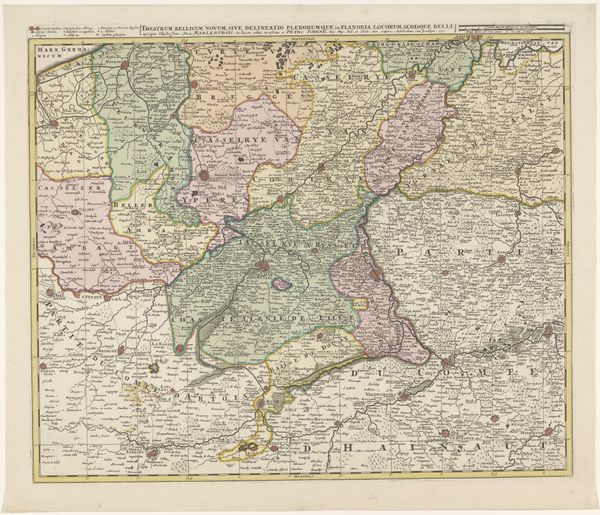
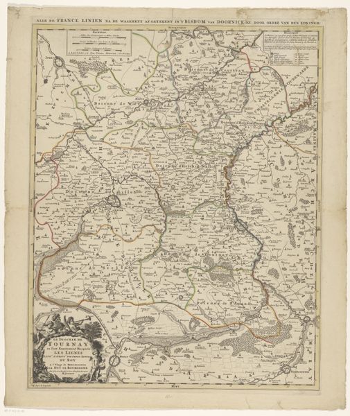
This anonymous map shows the former South African Republic, or Transvaal, and surrounding areas. Maps like this one were potent tools in the age of imperialism, establishing territorial claims through visual codes. Made at a time of fierce competition for African land, its apparently objective depiction of geography is anything but neutral. Note how place names assert control. This map would have shaped perceptions of the region, both locally and internationally. Historians consult a wide range of sources to understand the social and political contexts of images like this. Archival documents, newspapers, and personal accounts can reveal the intentions and biases behind their production and reception. The meaning of art, including cartography, is always contingent on its historical and institutional context.
Comments
No comments
Be the first to comment and join the conversation on the ultimate creative platform.
More like this