graphic-art, print, etching, paper
#
graphic-art
#
aged paper
#
toned paper
#
baroque
# print
#
etching
#
old engraving style
#
landscape
#
etching
#
paper
Dimensions: height 204 mm, width 272 mm
Copyright: Rijks Museum: Open Domain
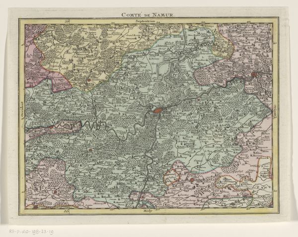
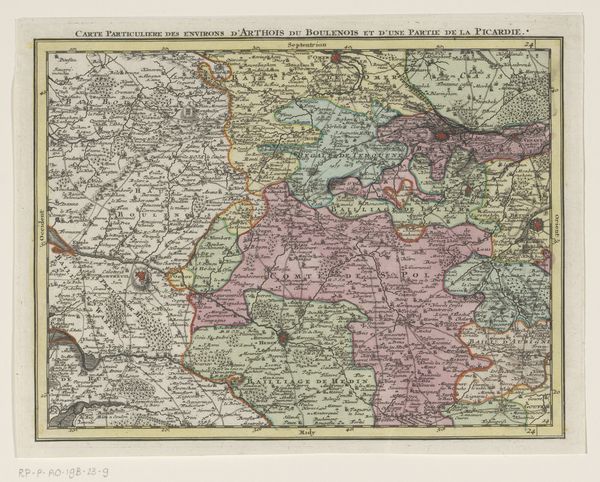
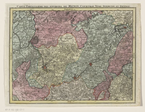
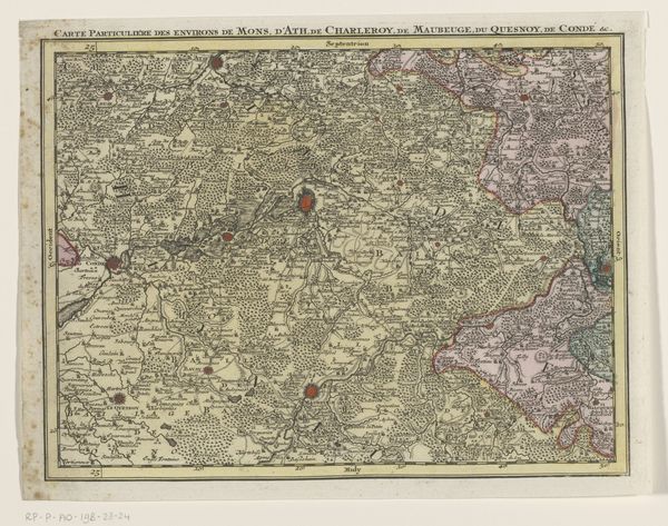
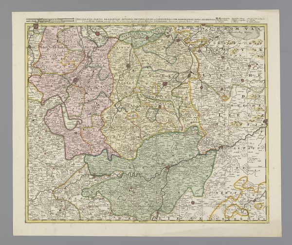
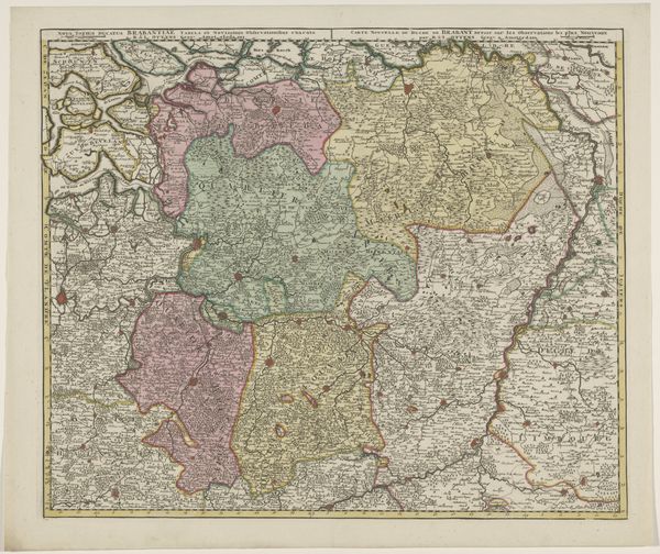
Tobias Conrad Lotter created this section of a map of the Austrian Netherlands at an unknown date, using engraving techniques. The map presents a network of interconnected regions, each distinguished by delicate lines and subtle colour variations of green, yellow, and pink. Consider the structure: the organisation of space is not merely geographical but also an expression of 18th-century mapping conventions. The lines marking borders and divisions assert control over the landscape, reflecting contemporary interests in territory and administration. Each element functions as a signifier within a larger semiotic system, where cartographic symbols correspond to real-world entities, creating a coded representation of the land. Note how the map invites us to decode its visual language and to question how it actively shapes our understanding of space and place. The map functions as a cultural artefact that is enmeshed with broader discourses of power and knowledge.
Comments
No comments
Be the first to comment and join the conversation on the ultimate creative platform.
More like this