print, engraving
# print
#
landscape
#
engraving
Dimensions: height 497 mm, width 585 mm
Copyright: Rijks Museum: Open Domain
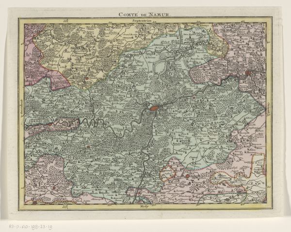
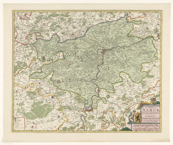
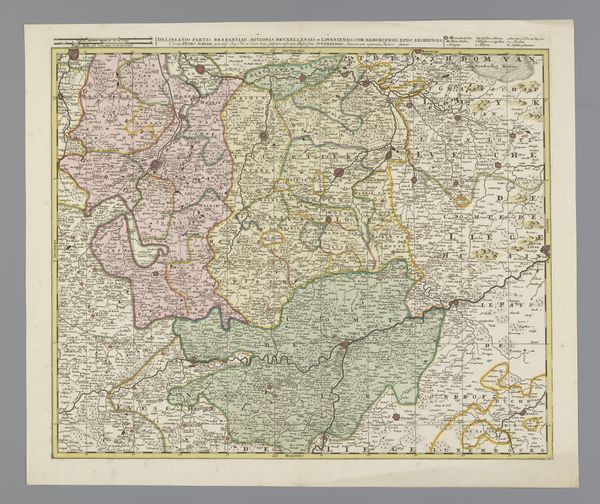
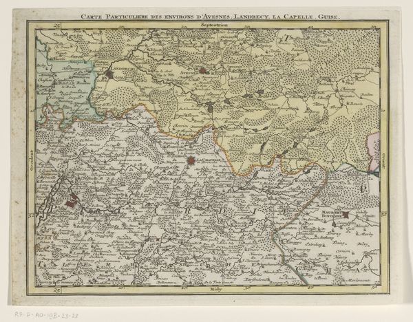
This is an anonymous map of the county of Namur. It was made at an unknown date in an unknown medium. Looking at this work, we can consider how maps create meaning through visual codes, cultural references, and historical associations. The map is of the county of Namur, which is a province in present-day Belgium. Without knowing more about the date of this map, it's hard to know what specific features of that culture influenced the artwork. We could consider how geography, religion, historical events, social class, political movements, or economic structures might have influenced the artwork. By looking at the map in more detail, we can try to understand the social structures of the time. Is it self-consciously conservative or progressive? Does it critique the institutions of art? Historians interpreting art use a range of research resources to help us understand it better. This reminds us that the meaning of art is contingent on social and institutional context.
Comments
No comments
Be the first to comment and join the conversation on the ultimate creative platform.
More like this