graphic-art, print, engraving
#
graphic-art
#
baroque
# print
#
line
#
engraving
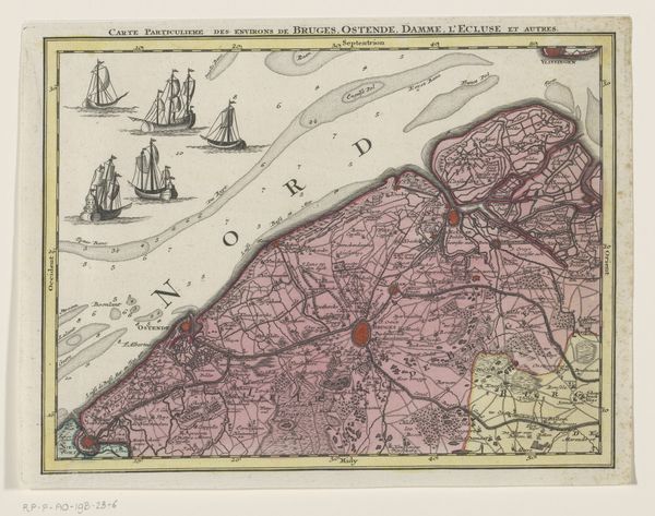
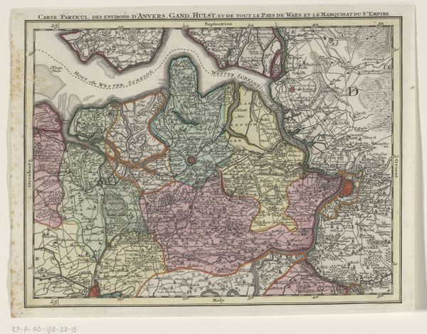
Dimensions: height 204 mm, width 269 mm
Copyright: Rijks Museum: Open Domain
Tobias Conrad Lotter created this segment of a map of the Austrian Netherlands, likely in the mid-18th century, using engraving on laid paper. What strikes us immediately is its structured arrangement: meticulously rendered coastlines, a network of fine lines denoting territorial divisions, and stylized ships floating on a stippled sea. These elements combine to create a sense of order and control. This map is not just a record of geographical space, it reflects a system of signs and cultural codes. The use of line, color, and the strategic placement of text function semiotically, communicating power structures and territorial claims. Thinkers like Michel Foucault would see this as a representation of power/knowledge, where cartography is both a form of knowledge and an instrument of control. Consider the balance between the representational and the abstract; while the map aims to depict reality, its stylized forms and symbolic elements reveal the constructed nature of spatial representation. This tension between reality and representation prompts us to question the very act of mapping, and how it shapes our understanding of space and place.
Comments
No comments
Be the first to comment and join the conversation on the ultimate creative platform.
More like this