painting
#
painting
#
landscape
Dimensions: height 206 mm, width 292 mm
Copyright: Rijks Museum: Open Domain
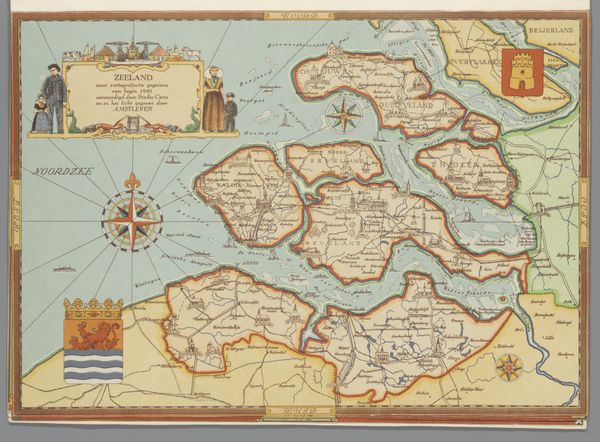
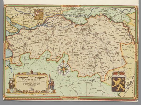
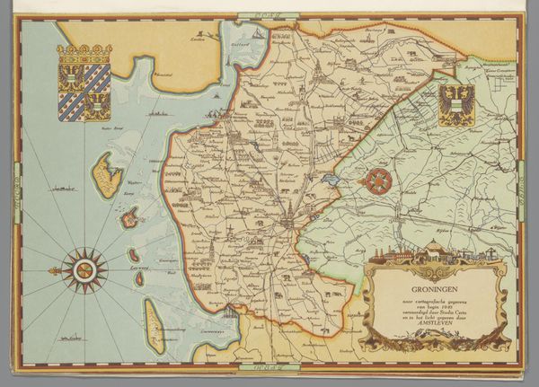
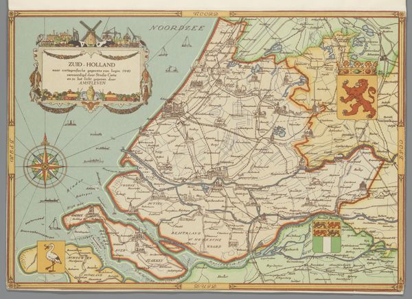
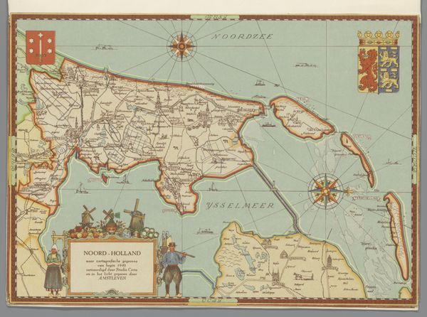
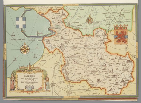
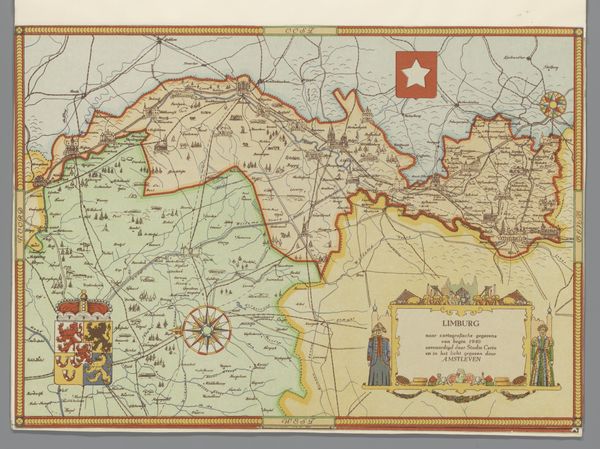
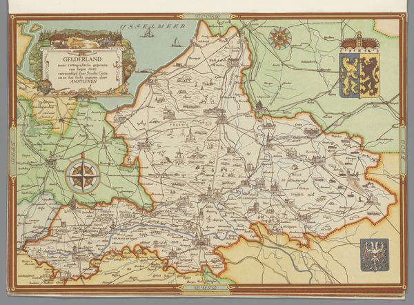
Curator: Here we have a painting titled "Kaart van Friesland, 1940," believed to have been created around 1947 by Studio Certo. It's a fascinating visual representation of the Frisian landscape. Editor: My first impression is how charmingly detailed it is. It feels almost like a folk-art map, not strictly functional but celebrating the place it depicts. All those little buildings—do they represent actual structures, or are they decorative flourishes? Curator: It strikes a balance, I think. There's the recognizable iconography—the crests, compass rose—which speaks to traditional cartography, yet it has this stylized presentation. This work reflects an effort in the postwar era to consolidate regional identity after a period of significant change and displacement under occupation. Editor: Yes, it feels as though someone labored intensely on every detail. And I’m particularly intrigued by the figures flanking the title cartouche. It feels related to older forms of heraldry and even stained glass processes, but adapted to paint. Curator: The costumes worn by those figures would've resonated deeply, grounding the imagery in local cultural touchstones at a pivotal moment of cultural reimagining. Think of what the immediate postwar landscape demanded from artists engaging with historical subjects: acknowledgement, catharsis, optimism. Editor: Absolutely. The emphasis on place suggests resilience. I notice that many of the boundaries are rather sharply delineated and this feels symbolic; boundaries were politically fraught for those impacted by the Occupation. Curator: Precisely! And observe how the palette remains bright; even with clear lines, the choice not to evoke conflict directly in a bleak way feels deeply considerate. Editor: What stands out to me is the meticulous labor involved, not only in crafting the initial map but also in creating this later painted iteration. The materials selected indicate that its production speaks directly to cultural rebuilding during its specific moment in history. Curator: It truly is a compelling window into the regional identity and post-war socio-political consciousness through artistic interpretation. Editor: Looking at this reminds us how geography is both real and imagined, political and personal, shaped as much by artistry as by actuality.
Comments
No comments
Be the first to comment and join the conversation on the ultimate creative platform.
More like this