print, engraving
#
dutch-golden-age
# print
#
geometric
#
engraving
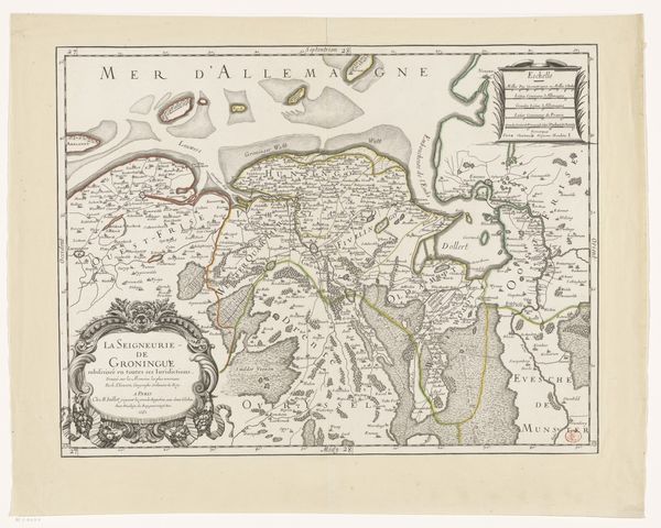
Dimensions: height 376 mm, width 486 mm
Copyright: Rijks Museum: Open Domain
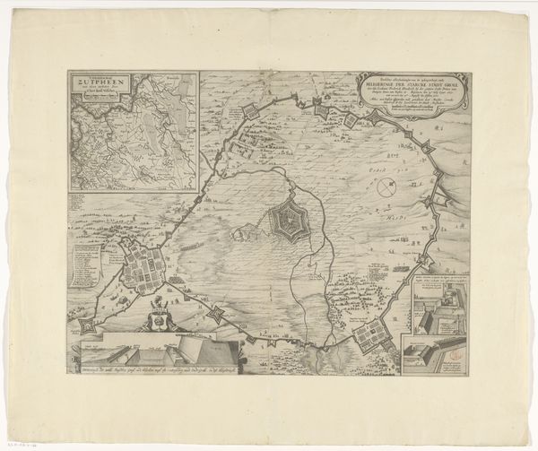
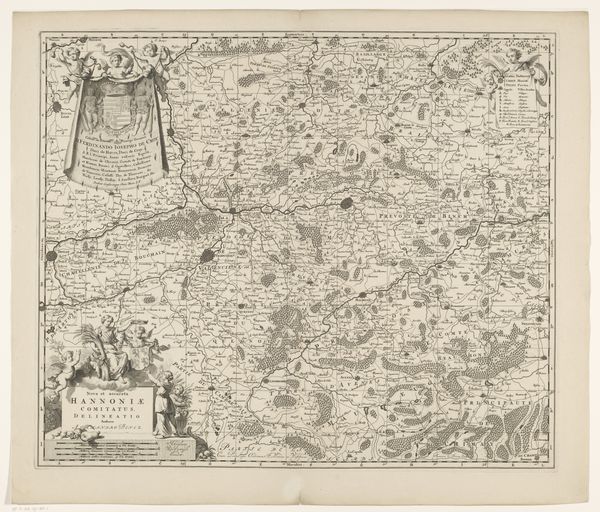
This is a map of the province of Groningen. The anonymous maker used ink on paper to create a detailed topographical and political overview of the area. The composition is neatly organized within a rectangular frame. Notice the elaborate cartouches, decorative coats of arms, and sailing ships scattered across the seas. These elements establish a hierarchy where the map's functionality merges with symbolic displays of power. The linear structure of the rivers, borders and coastlines emphasizes the region's geography. It simultaneously constructs a narrative of control and ownership. Consider how the map frames the area, both defining and limiting the space it represents. This act of framing is not merely descriptive but asserts a specific perspective. The map doesn't simply mirror reality; it actively participates in shaping it. The map's lines, symbols and textual elements create a semiotic structure that continues to invite new readings and interpretations.
Comments
No comments
Be the first to comment and join the conversation on the ultimate creative platform.
More like this