print, etching, engraving
#
dutch-golden-age
# print
#
etching
#
landscape
#
engraving
Dimensions: height 395 mm, width 527 mm
Copyright: Rijks Museum: Open Domain
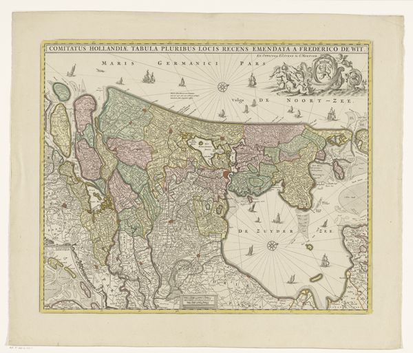
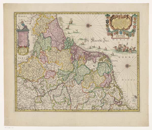
Gerard Coeck created this map of the county of Holland some time between his birth in 1608 and his death in 1649. This map is a product of the Dutch Golden Age, a period when the Netherlands was at the forefront of cartography and global trade. Maps like these weren't just about geographical accuracy; they were also tools of power, reflecting and reinforcing the Dutch Republic's burgeoning colonial ambitions and commercial interests. Coeck’s map presents Holland as a carefully ordered space, ready to be managed and exploited. Notice the detailed rendering of cities, waterways, and administrative boundaries. Consider, too, how this image might have been viewed by different people at the time. For a Dutch merchant, it could represent opportunities for trade and expansion. But for those living in colonized territories, this kind of map symbolized the reach and authority of a distant power. In its own way, this map laid the groundwork for a world increasingly shaped by European perspectives and control.
Comments
No comments
Be the first to comment and join the conversation on the ultimate creative platform.
More like this