drawing, print, engraving
#
drawing
#
baroque
#
pen drawing
#
dutch-golden-age
# print
#
pen sketch
#
old engraving style
#
landscape
#
engraving
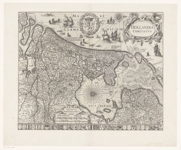
Dimensions: height 478 mm, width 569 mm
Copyright: Rijks Museum: Open Domain
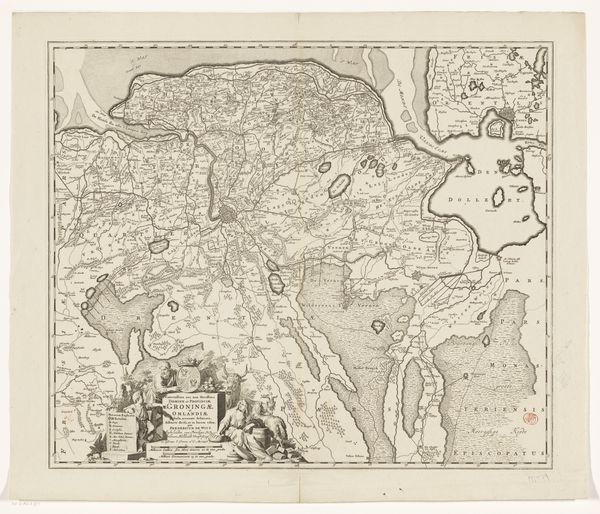
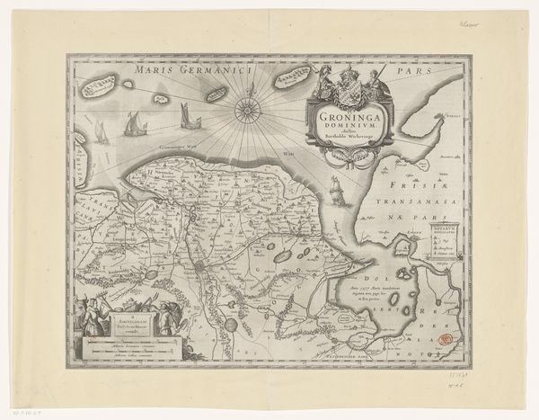
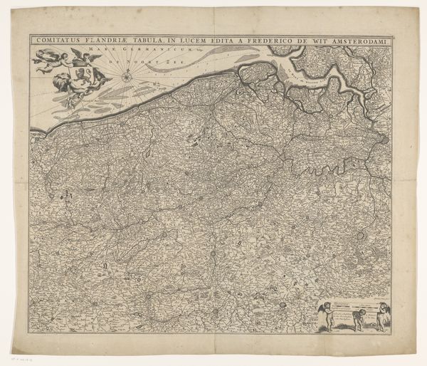
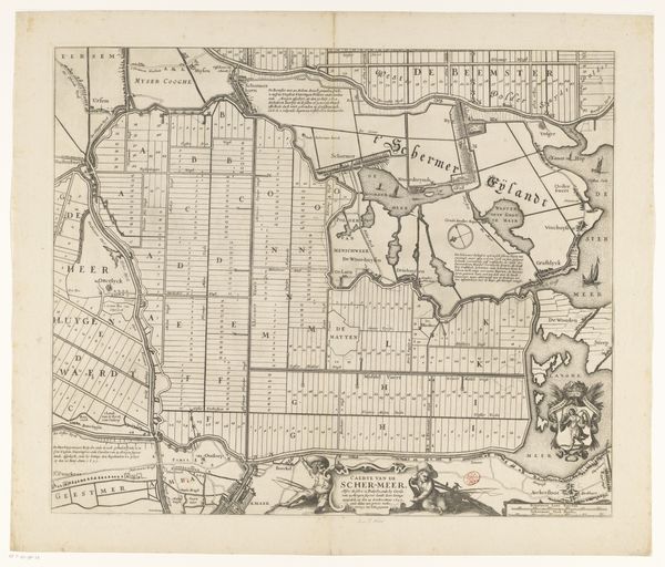
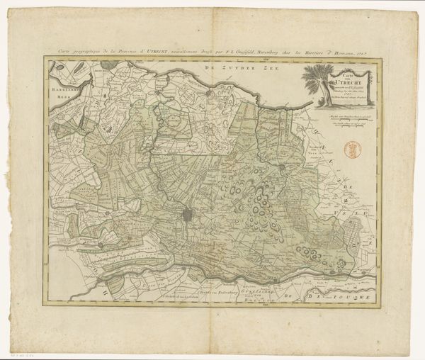
This is an anonymous map of the county of Holland. Its structure is a dense network of lines and carefully inscribed details. Notice how the map presents Holland not just as a geographical space but also as a structured entity. The lines that define borders, waterways, and landscapes create a visual order, almost suggesting an inherent logic to the land itself. The detailed engraving, with its precise rendering of towns and maritime routes, functions as a kind of language, encoding information and asserting control over the territory it depicts. The map is more than a simple representation of space. It's a cultural artifact that participates in the construction of meaning and power. This formal articulation reflects an effort to impose clarity on the complexities of the world, reinforcing particular ways of seeing and understanding. The aesthetic experience and the exercise of power are, in essence, inseparable.
Comments
No comments
Be the first to comment and join the conversation on the ultimate creative platform.
More like this