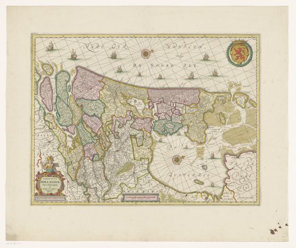
graphic-art, print, etching
#
graphic-art
#
dutch-golden-age
# print
#
etching
#
landscape
#
etching
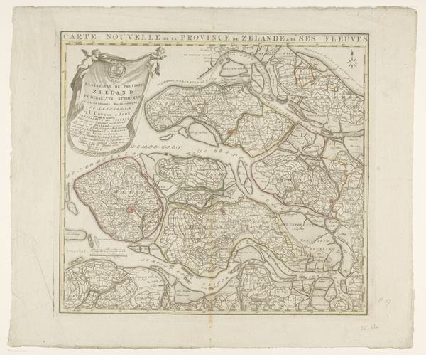
Dimensions: height 464 mm, width 552 mm
Copyright: Rijks Museum: Open Domain
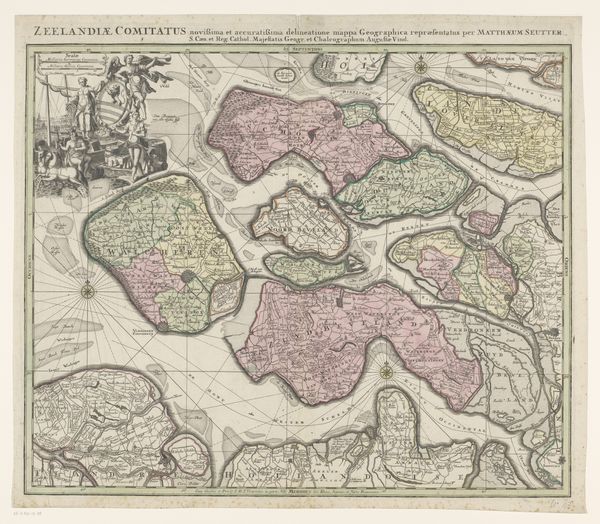
This is an anonymous map of Zeeland, meticulously rendered. Notice the heraldic lion at the top, a symbol deeply rooted in Northern European iconography, representing courage, nobility, and royalty. But the lion's tale does not end here. We see echoes of this symbol throughout history, from the ancient Near East, where lions guarded temples and palaces, to medieval tapestries where they symbolized power and chivalry. The recurrence of the lion speaks to our collective memory, a primal need to align ourselves with strength and authority. The lion engages us on a deep, subconscious level. The progression of this symbol is not linear, but cyclical, resurfacing, evolving, and taking on new meanings in different historical contexts.
Comments
No comments
Be the first to comment and join the conversation on the ultimate creative platform.
More like this