graphic-art, print, etching, paper, engraving
#
graphic-art
#
dutch-golden-age
# print
#
etching
#
landscape
#
paper
#
engraving
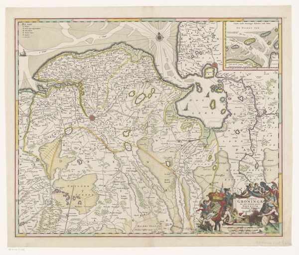
Dimensions: height 434 mm, width 571 mm
Copyright: Rijks Museum: Open Domain
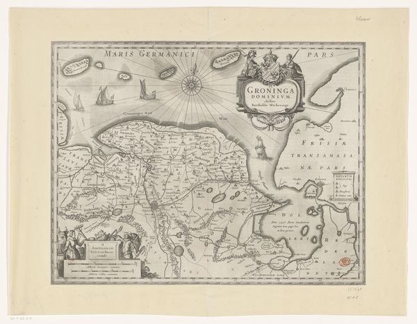
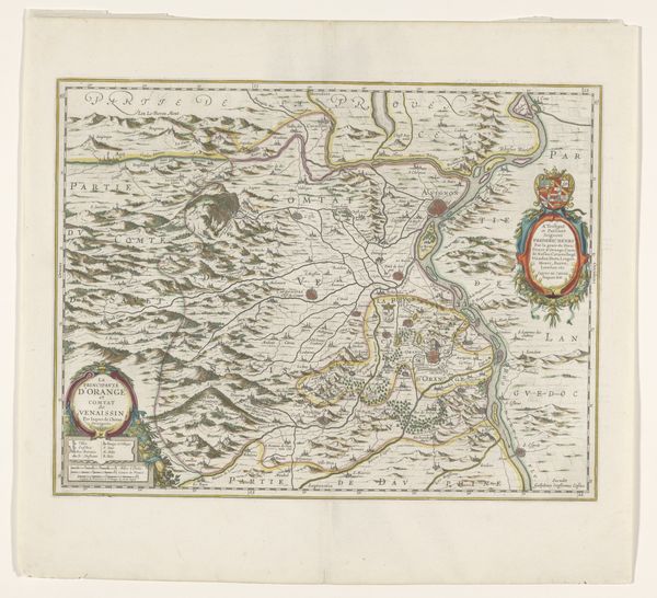
This is François Caumartin's map of the province of Groningen and parts of Friesland and Drenthe, made with etching around 1695. This map presents not just geographical data, but a narrative of power and identity within the Netherlands. Consider the cultural context: cartography was a tool of empire, defining territories and asserting control. The detailed rendering of Groningen, with its borders meticulously drawn, speaks to the desire to categorize and control the land. The map reflects a very gendered act. Mapping the world and defining the land as property are intrinsically acts of power. Who gets to claim ownership? Who is displaced in the process? What voices are marginalized in this rendering of space? It invites us to consider the human stories behind geographical representation. How do maps shape our sense of belonging? And how do they reflect the identities of those who create them?
Comments
No comments
Be the first to comment and join the conversation on the ultimate creative platform.
More like this