print, engraving
# print
#
old engraving style
#
geometric
#
ancient-mediterranean
#
history-painting
#
engraving
Dimensions: height 477 mm, width 654 mm
Copyright: Rijks Museum: Open Domain
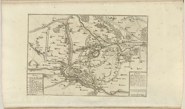
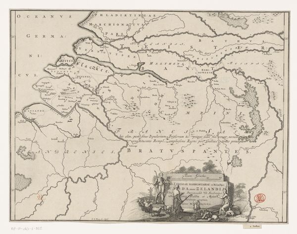
Johannes Condet created this map of Northern Greece, using ink on paper. The dominant visual experience is one of intricate detail and delicate lines, meticulously charting the geographical contours of the region. The monochromatic palette further emphasizes the map's structured nature, while the textures of the paper provide a tactile contrast to the precise lines. The map utilizes a semiotic system of representation where lines and typography function as signs encoding geographical and political information. Condet's choices in terms of line weight and letter size create a hierarchy of information, subtly influencing the viewer's perception of space and importance. Consider the scale, which invites not just navigation but reflection on how spaces are codified. The cultural codes embedded in the map reflect early geographical knowledge and emerging power structures of the time. It prompts us to consider maps not as neutral depictions but as constructed representations that engage with new ways of thinking about space and power.
Comments
No comments
Be the first to comment and join the conversation on the ultimate creative platform.
More like this