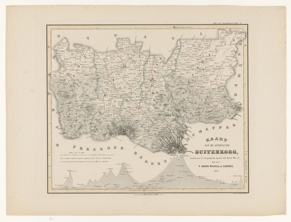
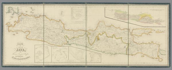
print, etching, engraving
# print
#
etching
#
war
#
landscape
#
etching
#
genre-painting
#
history-painting
#
academic-art
#
engraving
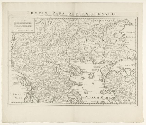
Dimensions: height 611 mm, width 864 mm
Copyright: Rijks Museum: Open Domain
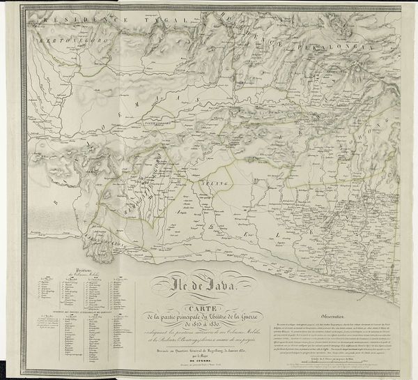
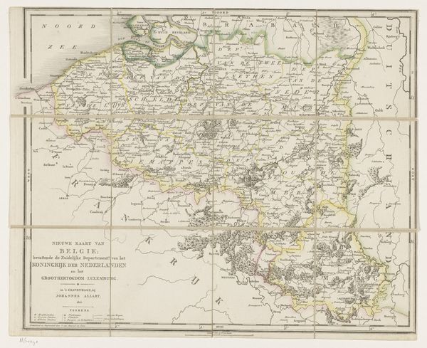
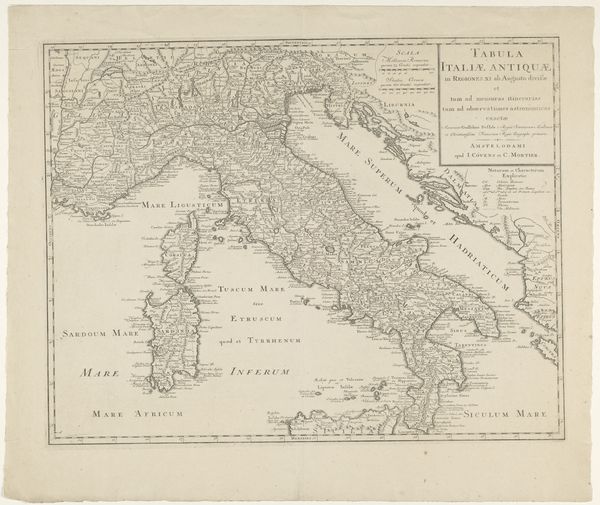
This map of Greece and Asia Minor was printed by G.W. Bacon in London, though without a specific date. The image offers more than just geographic information; it’s a window into the political and military interests of its time. Note how the map emphasizes strategic locations and natural barriers, visually encoding the landscape for military planning. This was a period of intense geopolitical maneuvering, with the decline of the Ottoman Empire creating a power vacuum in the region. Maps like these were vital tools, influencing public opinion and policy decisions. The inclusion of "the entire seat of war" in the title suggests a nation preparing for conflict, while also demonstrating a growing reliance on visual media for both information and propaganda. To fully understand this map, we can consult historical archives and period publications. Scrutinizing the map in its historical context allows us to appreciate how it both reflected and shaped the imperial ambitions of its era.
Comments
No comments
Be the first to comment and join the conversation on the ultimate creative platform.
More like this