print, engraving
#
treasure map
#
aged paper
# print
#
old engraving style
#
landscape
#
history-painting
#
natural palette
#
engraving
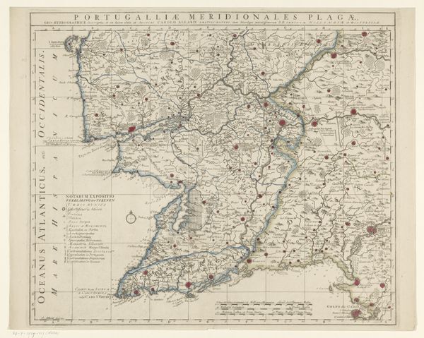
Dimensions: height 522 mm, width 608 mm
Copyright: Rijks Museum: Open Domain
This map, titled "Kaart van Catalonië," presents us with a fascinating look at how regions were perceived and symbolically represented. Maps were not just geographical tools; they were powerful statements of ownership and identity, laden with symbols of authority. The compass rose, for example, wasn't simply for navigation. It was a declaration of man's ability to master the natural world. The elaborate cartouches and coats of arms served as proud emblems of the ruling powers, staking their claim over the depicted territories. Such symbolism reminds me of ancient Roman maps, where the known world was centered around Rome itself, a projection of power onto parchment. Over time, the iconography of maps shifted. While the core intention to claim remains, its style and how it presents a narrative of power changes. Think of the cultural weight of how places are named, often reflecting the values and historical claims of the mapmakers. This map is not just a guide; it is a potent assertion of cultural memory.
Comments
No comments
Be the first to comment and join the conversation on the ultimate creative platform.
More like this