drawing, print, paper, ink, engraving
#
drawing
#
map drawing
#
baroque
# print
#
paper
#
ink
#
geometric
#
history-painting
#
engraving
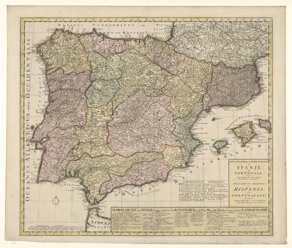
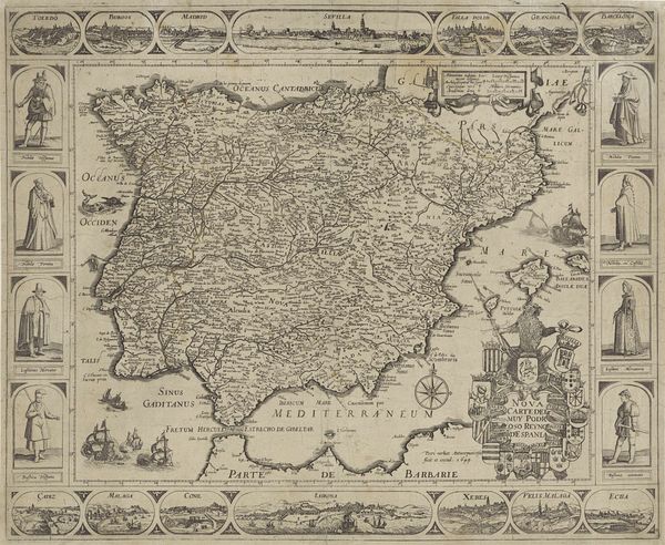
Dimensions: height 498 mm, width 602 mm
Copyright: Rijks Museum: Open Domain
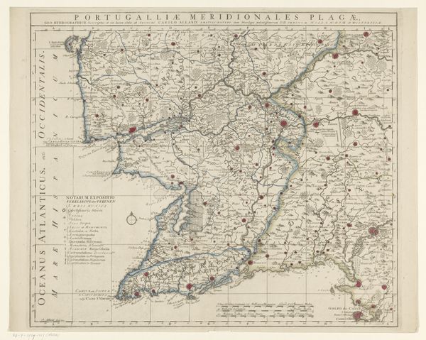
Editor: Here we have “Kaart van Spanje,” a map of Spain, dating sometime between 1721 and 1774, by Johannes L. van Luchtenburg. It’s an engraving on paper, a delicate but precise rendering of geography. What strikes me is the ornate cartouche in the upper right—it's almost as important as the map itself. What do you make of it? Curator: Ah, a map! More than just geographical data, it's a fascinating record of power, perception, and identity. Notice how the map meticulously details cities and regions, yes, but also considers the seas and the borders... how these geographical elements become imbued with meaning. And the cartouche, as you noticed. What does its style suggest to you? Editor: Well, the figures seem almost celebratory, Roman-esque perhaps, indicating Spain's importance. But how accurate would this map have been? Curator: Accuracy wasn't always the primary goal. Maps, in this period, served a symbolic purpose. The details included or omitted, the artistic flourishes, these served to communicate political and cultural narratives. How might this map have shaped European perceptions of Spain at the time? Editor: I guess by projecting an image of grandeur and established territory. So the map becomes a tool, not just a representation. I'll certainly look at maps differently now. Curator: Precisely. Visual symbols encode narratives, shaping collective memory.
Comments
No comments
Be the first to comment and join the conversation on the ultimate creative platform.
More like this