print, engraving
#
dutch-golden-age
# print
#
landscape
#
cityscape
#
history-painting
#
engraving
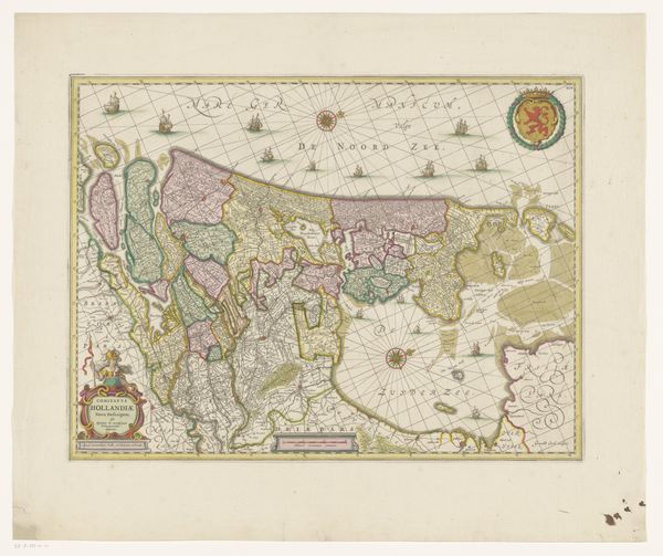
Dimensions: height 480 mm, width 570 mm
Copyright: Rijks Museum: Open Domain
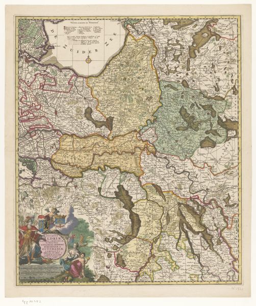
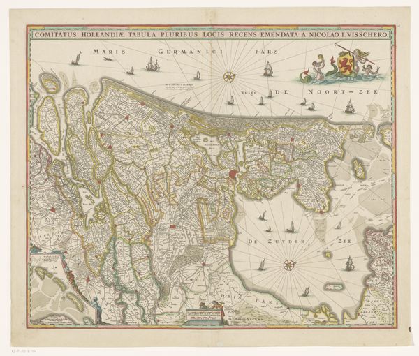
This is an anonymous, undated map of the County of Holland. Created during a time of cartographic innovation, it offers a window into how the Dutch perceived their world and their place within it. Consider the map as more than a geographical tool; it embodies power dynamics and cultural identity. The detailed rendering of the landscape reflects the Dutch Republic’s economic prosperity and colonial ambitions. Note how the map not only charts territory but also asserts a claim. Cartography was a political act, defining borders and spheres of influence. The ornamental features, such as the coat of arms and allegorical figures, reinforce a sense of national pride. The map invites us to think about whose perspectives are included and excluded in its representation of Holland. It acts as a reminder of the stories and histories that are etched into the land. It invites us to consider the layered meanings embedded in this image of a nation.
Comments
No comments
Be the first to comment and join the conversation on the ultimate creative platform.
More like this