graphic-art, print, engraving
#
graphic-art
#
dutch-golden-age
# print
#
landscape
#
cityscape
#
engraving
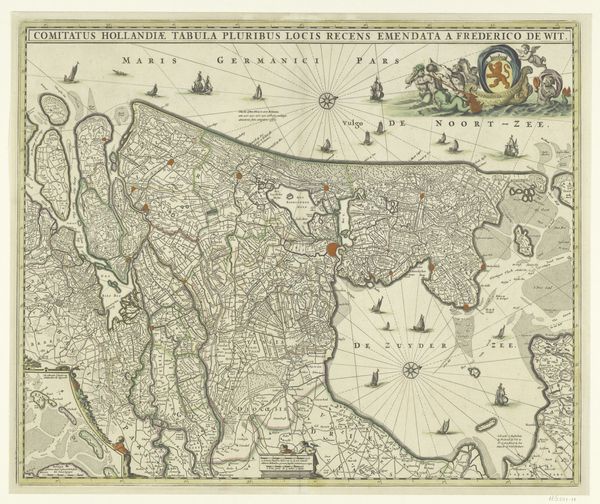
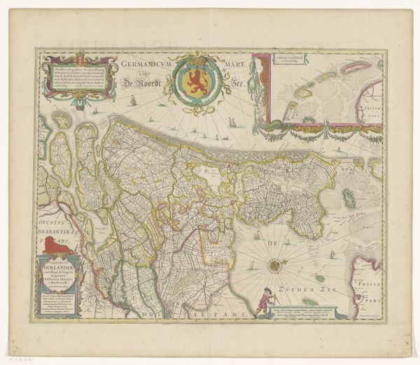
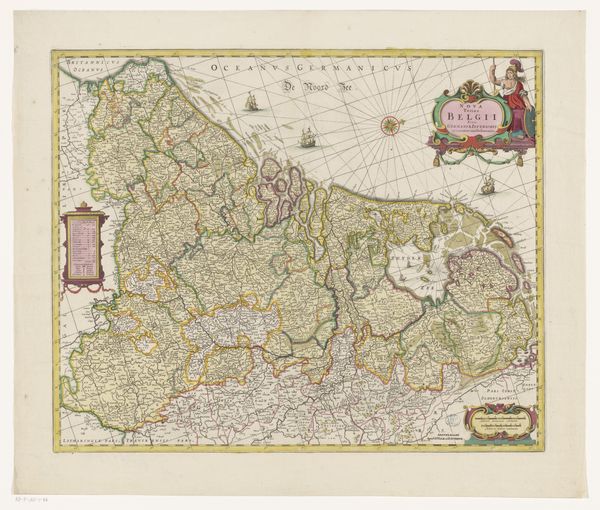
Dimensions: height 469 mm, width 566 mm
Copyright: Rijks Museum: Open Domain
This map of Holland was meticulously crafted, using engraving techniques to transfer an image onto a metal plate, likely copper, which was then inked and printed. The process speaks to an era when cartography was both art and science, requiring precision, skill, and a deep understanding of geography. Notice the fineness of the lines and the detail etched into the plate. Each town, waterway, and territorial boundary has been carefully rendered, revealing a landscape shaped by both nature and human endeavor. The use of color further enhances the map, distinguishing regions and adding a decorative quality that reflects its cultural significance. Consider the labor involved in creating such a map. From the surveyors who gathered the geographical data, to the engravers who translated that information onto the plate, and finally to the printers who produced the final product, the map represents a collective effort rooted in specific skills and traditions. By appreciating the materials, methods, and context behind this map, we recognize its value as a work of art, craft, and historical documentation.
Comments
No comments
Be the first to comment and join the conversation on the ultimate creative platform.
More like this