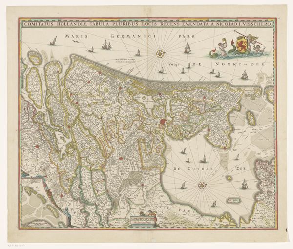
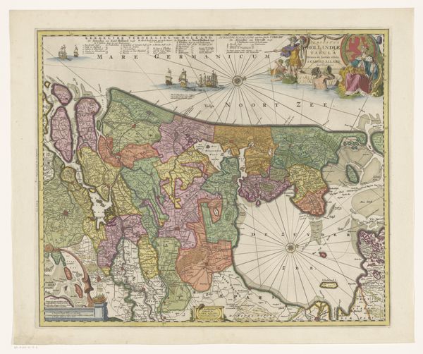
Kaart van de provincie Groningen en een deel van Drenthe 1663 - 1670
0:00
0:00
romeyndehooghe
Rijksmuseum
print, engraving
#
dutch-golden-age
# print
#
landscape
#
engraving
Dimensions: height 469 mm, width 572 mm
Copyright: Rijks Museum: Open Domain
Curator: This print, titled "Kaart van de provincie Groningen en een deel van Drenthe," comes to us from Romeyn de Hooghe. Likely created between 1663 and 1670, this engraving offers a detailed view of the Groningen and Drenthe provinces. Editor: My first impression? It speaks volumes about the interplay of power and representation. Cartography has always been a tool, and this map—in its details—shows that power being asserted. The precision is astounding; yet, one cannot ignore its ideological purpose, right? Curator: Certainly. From a purely compositional perspective, the detail afforded to certain geographical features suggests prioritization. The delineation of waterways and key landmarks, for example, speaks to the work’s functional and, potentially, aesthetic aspirations. Observe how each marking creates both visual order and descriptive depth. Editor: I find it more interesting to consider *who* is meant to use this order. Note the cherubs and warriors embellishing the lower right. It's glorifying the region and projecting might; a claim to the land in pictorial form during a very tumultuous era. What communities are absent or misrepresented through such visual strategies? Curator: A valid consideration. However, the engraving technique itself is masterful; the variations in line thickness create texture and depth on what would otherwise be a flat surface. There’s a structured rhythm between the density of place-names and the sparse emptiness of the open waters. Editor: That rhythm speaks not only to aesthetics but control. The precision in mapping Groningen allows for governance, extraction of resources, even cultural domination, doesn't it? The smaller inset reinforces the idea of the province as both detailed and definitively bordered and 'known.' Curator: True, the cartouche emphasizes the governance of space, yet consider that it is not exclusively or necessarily rooted in malicious intent. Maps are, essentially, about information—a quest for comprehensiveness and accurate depiction. This speaks to a scientific desire for rational organization of space. Editor: Yet what do we make of that visual choice, right in the corner, celebrating militarism when one considers the ongoing conflicts for control in Europe? "Rationality" still advances certain narratives while erasing others. That detail situates this map firmly in its complex moment, offering it a visual commentary of what matters in the regions it defines. Curator: In the end, Romeyn de Hooghe’s print, both visually fascinating and sociopolitically loaded, presents a unique synthesis of Golden Age artistic values. Editor: Precisely, a valuable reminder of cartography as more than just the objective rendering of geography.
Comments
No comments
Be the first to comment and join the conversation on the ultimate creative platform.
More like this