print, paper, engraving
#
dutch-golden-age
# print
#
landscape
#
paper
#
engraving
Dimensions: height 469 mm, width 552 mm
Copyright: Rijks Museum: Open Domain
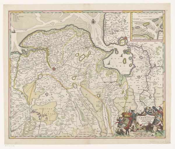
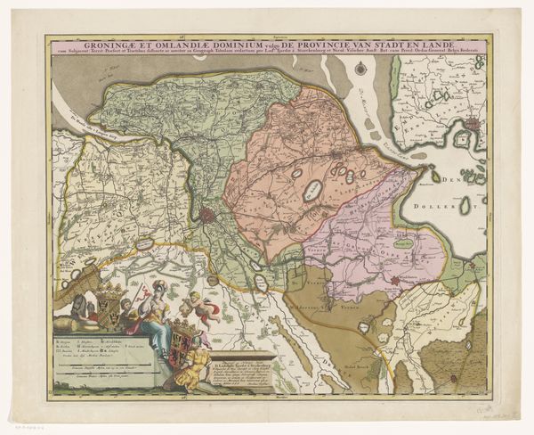
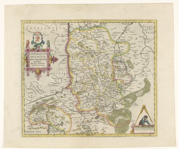
This is an undated map of the Groningen and Drenthe provinces by an anonymous artist, made with etching. Note how the layout divides the space between land and sea. The artist uses line work to articulate borders, waterways, and settlements. The varying line weights likely denote the significance of different features. Color washes define regions, creating a visual hierarchy. Notice how the density of the topographical details shifts our focus, drawing the eye across the landscape. The map isn't just a depiction of space; it embodies an assertion of control, using cartography as a means to codify and present a territory. This semiotic encoding represents power structures, translating geographical reality into a set of signs and symbols that reflect political and economic interests. The embellishments, such as coats of arms and figures, root the map within a specific cultural context. Consider how this map functions not merely as a practical tool but as a complex representation. The way it establishes borders, highlights resources, and asserts ownership all form a visual and ideological narrative.
Comments
No comments
Be the first to comment and join the conversation on the ultimate creative platform.
More like this