print, engraving
#
treasure map
#
aged paper
#
dutch-golden-age
# print
#
old engraving style
#
landscape
#
geometric
#
engraving
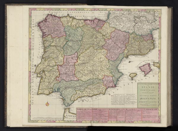
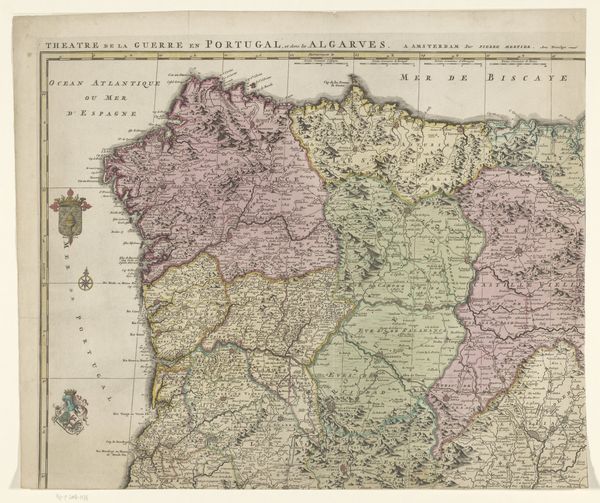
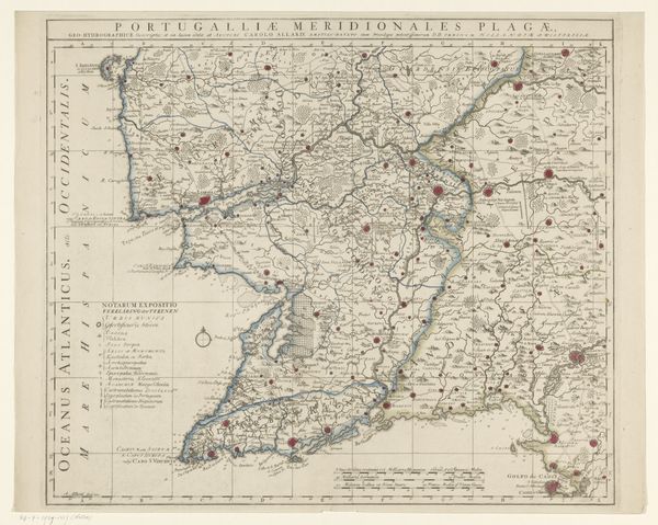
Dimensions: height 50.4 cm, width 58.6 cm
Copyright: Rijks Museum: Open Domain
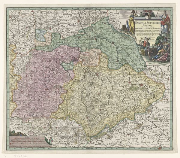
Editor: This is "Kaart van Spanje en Portugal," a print made sometime between 1675 and 1725 by Abraham Allard. The engraving style gives it such an aged, almost mysterious feeling. What sociopolitical factors would have been important when interpreting this piece? Curator: This map isn't just about geography; it's about power. Consider the historical context: Spain and Portugal were major colonial powers. How might this map have functioned in their projection of dominance? Were these cartographers charting their dominion as a visual claim of authority? Editor: So it’s not just about accurate representation but also about reinforcing their global position. I wonder how indigenous populations of those regions were, in turn, impacted by that authority? Curator: Exactly. Think about the Dutch Golden Age, the backdrop to this map's creation. How does the Netherlands' own burgeoning mercantile power at the time influence the way they portray their Iberian neighbors? Do you see hints of rivalry or perhaps even admiration within the map's details? What could the embellishments signify? Editor: I didn't consider that. Maybe the very act of mapping was a way of cataloging resources for economic exploitation. It's almost as if the land itself becomes a commodity in their eyes. Curator: Precisely. Consider how the map’s details emphasize navigable routes or resource-rich areas. Now consider how it reflects on the identities and experiences of those who already inhabited that landscape. Maps such as this become less neutral document and more loaded statement. Editor: It's powerful to think about a map not just as a neutral depiction, but as a cultural artifact, a document that has helped to reinforce sociopolitical narratives and impacted diverse groups of people. Thank you! Curator: Indeed. Maps aren’t mirrors. They are active agents shaping our understanding of the world. This discussion underscores the complex interplay of power, knowledge, and representation that resonates even today.
Comments
No comments
Be the first to comment and join the conversation on the ultimate creative platform.
More like this