print, engraving
#
dutch-golden-age
# print
#
old engraving style
#
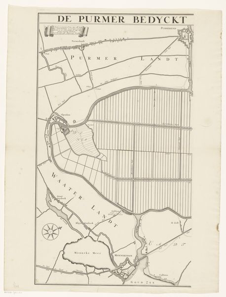
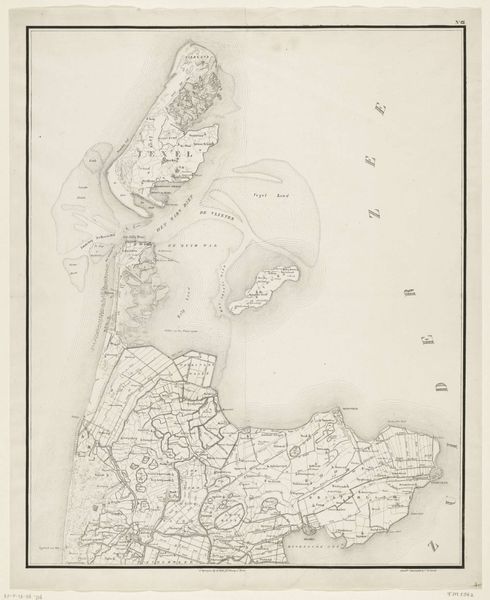
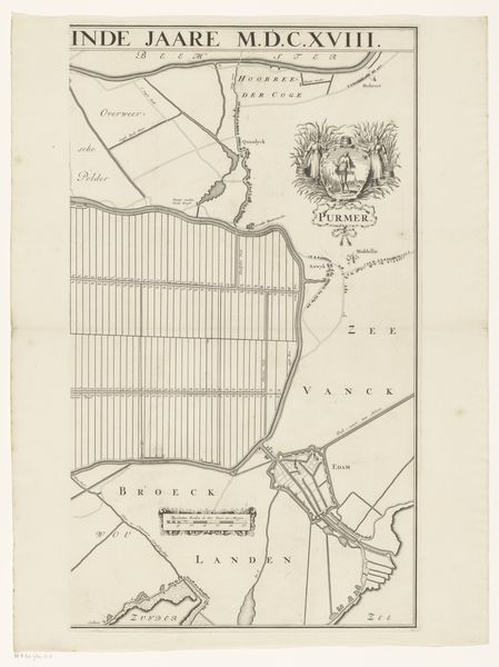
landscape
#
geometric
#
engraving
Dimensions: height 580 mm, width 495 mm
Copyright: Rijks Museum: Open Domain
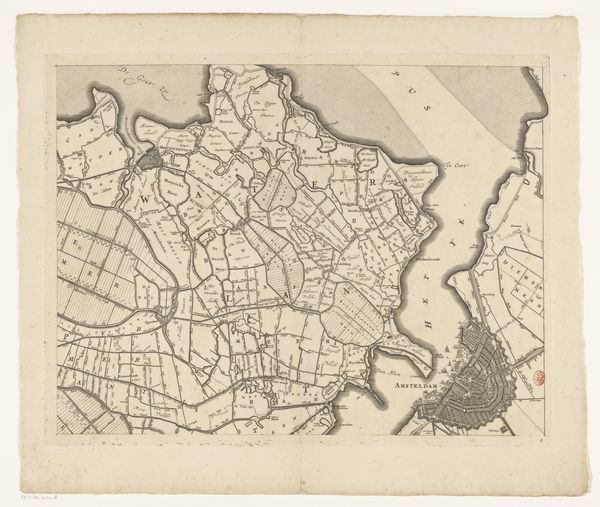
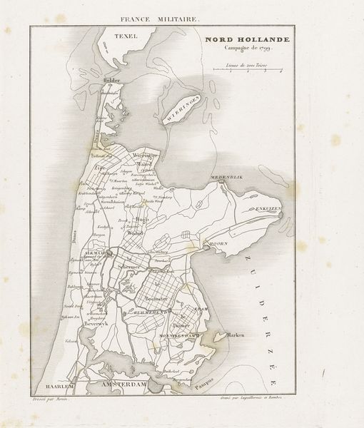
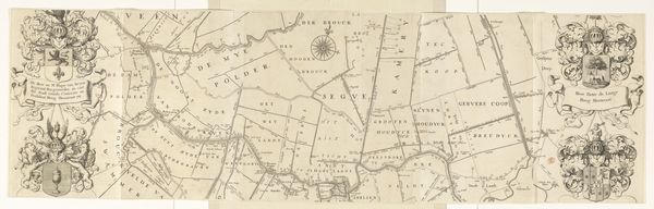
Curator: Before us we have an engraving titled "Kaart van Noord-Holland, 1799," or "Map of North Holland, 1799" by Steuerwald & Co., created between 1830 and 1832. Editor: It’s remarkable how clearly defined the landmasses are, even in this somewhat aged condition. The geometry is fascinating, yet subdued in tone. Curator: Precisely! What we’re observing is an object deeply embedded within the 19th-century printmaking industry. Engravings like these were not just artistic expressions but also functional tools for governance, commerce, and even military strategy. Think about the skill involved in carving those intricate details onto a metal plate! Editor: Yes, the execution is undeniably refined, a testimony to formal values like balance and precision in replication, I think. Look at how space is rendered, using different line weights and hatching techniques to define areas! Curator: And consider the role of this map in shaping a sense of regional identity! The engraving process itself—the labor involved, the materials sourced—becomes part of a larger narrative about Dutch economic activity during the early 1800s. How accessible would maps like these have been to ordinary people? Who controlled their distribution? Editor: The engraving speaks to organization. Each plotted point adheres to structural integrity and produces visual concord. Also, I must acknowledge how serene the landscape becomes from this distanced vantage. It's almost therapeutic. Curator: Indeed. That tranquility, though, might obscure the political and social dynamics that shaped the landscape being depicted. Ownership, land use, coastal defence. It would have involved complex networks of labor and knowledge. Editor: Agreed, and now it presents an intriguing problem of deciphering. A balance that asks us to be mindful of function and admire this formal style! Curator: Exactly. It serves as a reminder that even seemingly straightforward representations carry layered meanings rooted in production and usage. Editor: Very much. A lasting testament of what artistic execution communicates to the world when blended so expertly in material form!
Comments
No comments
Be the first to comment and join the conversation on the ultimate creative platform.
More like this