drawing, print, paper, ink, engraving
#
drawing
#
dutch-golden-age
# print
#
landscape
#
paper
#
ink
#
geometric
#
cityscape
#
engraving
Dimensions: height 700 mm, width 397 mm
Copyright: Rijks Museum: Open Domain
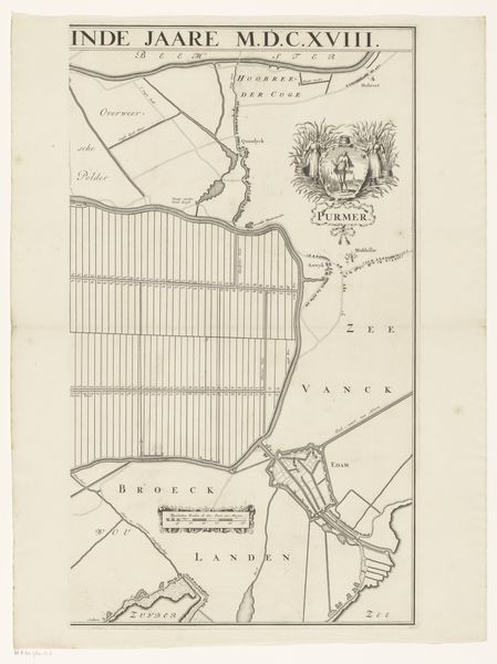
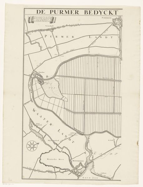
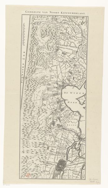
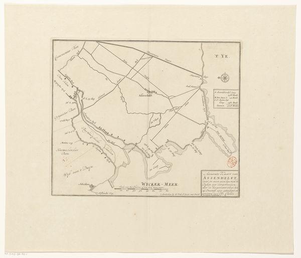
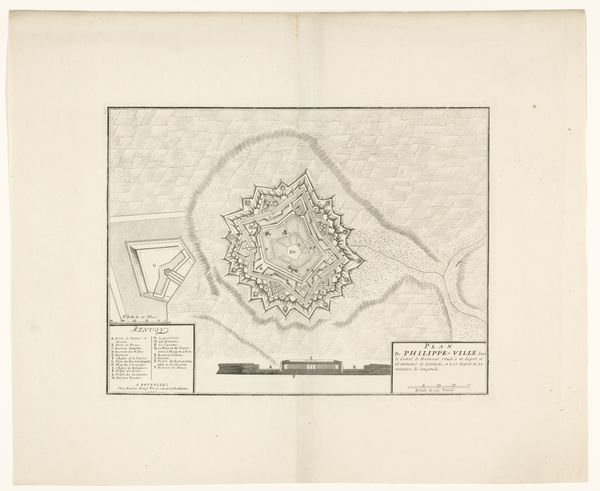
Curator: Here we have a fascinating map, or rather the right half of a map, entitled 'Kaart van de Purmer', dating roughly between 1683 and 1980 by Johannes Leupenius. It’s a composite piece utilizing drawing, print, engraving and ink on paper. Editor: Wow, the precision is stunning. It looks so clean, almost like a minimalist etching. The neatness makes me think of… spreadsheets. It’s calming, like looking down on perfectly ordered fields from above. Curator: Indeed. The stark contrast between the blank paper and the precise ink lines speaks to the Dutch Golden Age aesthetic. You see that focus on detail but also a deliberate choice of materials and printing processes to maximize legibility. It served a specific purpose, documenting the reclaimed land, the Purmer polder. Editor: The word 'polder' evokes such a specific feeling – the land wrestled from the sea, human ingenuity literally reshaping the world. This image makes me think about the amount of effort involved. Those long, perfectly straight lines describing land, the intricate waterways – that labor translates so vividly even through a black and white drawing. It's strangely poetic, isn’t it? The imposition of geometric forms on the landscape itself! Curator: Exactly! Consider the societal and economic impact, editor! These new land developments altered agriculture, trade, and even local politics. These maps weren't simply aesthetic; they represented investments, ownership, and control of resources. What strikes me is how mass production—the print medium—makes something unique like geographical knowledge both accessible and reproducible. Editor: Makes you wonder about how accurate it was, really, at the time! Maps often have agendas. Curator: Absolutely! These engravings give us insight into Golden Age values: a confidence in human mastery, rationalism, and mercantilism reflected in even the seemingly 'objective' portrayal of landscape. Editor: Seeing something like this kindles a weird feeling, almost awe for the anonymous craftspeople that produced it, meticulously following their training to shape, reshape and re-present the territory around them. Curator: A thought echoed when viewing objects from our past—made to order, serving very immediate social requirements that linger long past the occasion. Editor: This careful and neat cartography has an element of care about it—maybe it’s my contemporary longing!
Comments
No comments
Be the first to comment and join the conversation on the ultimate creative platform.
More like this