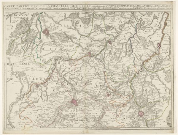
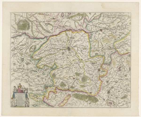
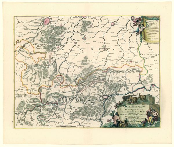
print, engraving
#
baroque
# print
#
landscape
#
geometric
#
engraving
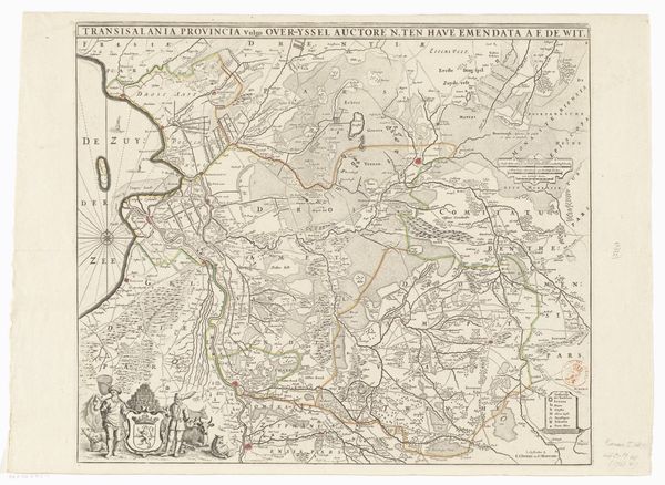
Dimensions: height 485 mm, width 596 mm
Copyright: Rijks Museum: Open Domain
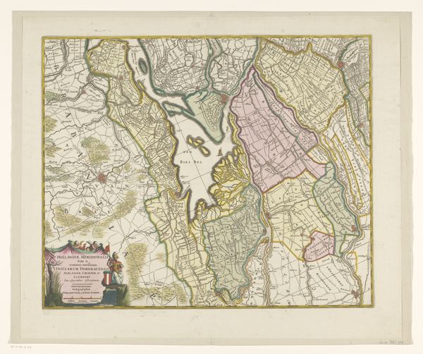
This anonymous map depicts the Overkwartier of Gelre, capturing a specific geographical space and the cultural symbols associated with it. At the bottom left, figures flank a coat of arms, a symbol of power and regional identity. The coat of arms, a recurrent motif throughout history, is a visual shorthand for lineage, authority, and the territories they govern. Think back to ancient heraldry or royal insignias—these emblems served not only as markers of identity but also as assertions of dominance and legitimacy. The figures performing laboring tasks are also representative of their belonging and ownership. Such symbols tap into our collective memory, conjuring ancestral connections and a sense of place. Over time, the meaning and significance of these emblems evolve, influenced by shifting social dynamics and political landscapes. This resonates with humanity's deep-seated need for order and control.
Comments
No comments
Be the first to comment and join the conversation on the ultimate creative platform.
More like this