print, engraving
#
neoclacissism
# print
#
landscape
#
cityscape
#
engraving
Dimensions: height 477 mm, width 289 mm
Copyright: Rijks Museum: Open Domain
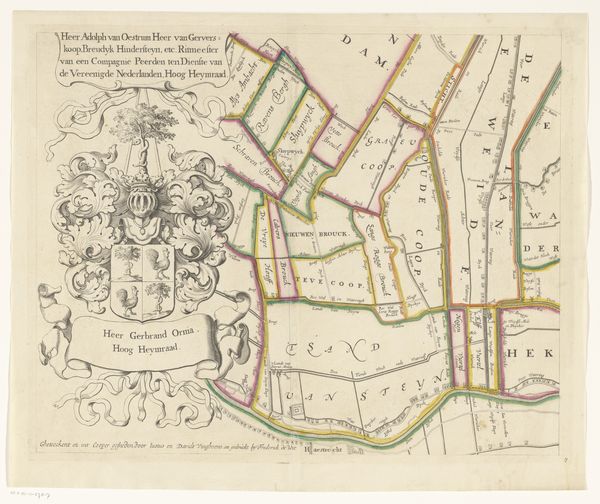
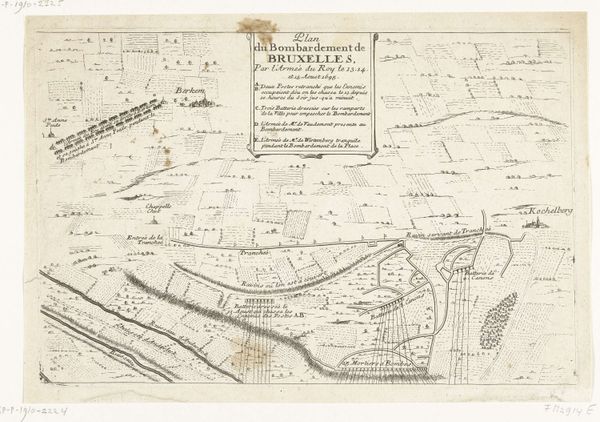
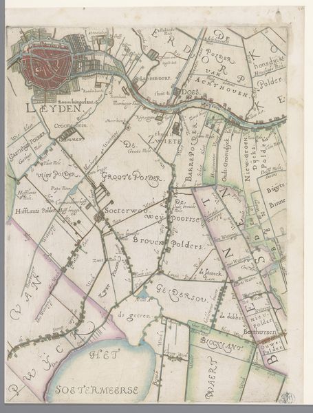
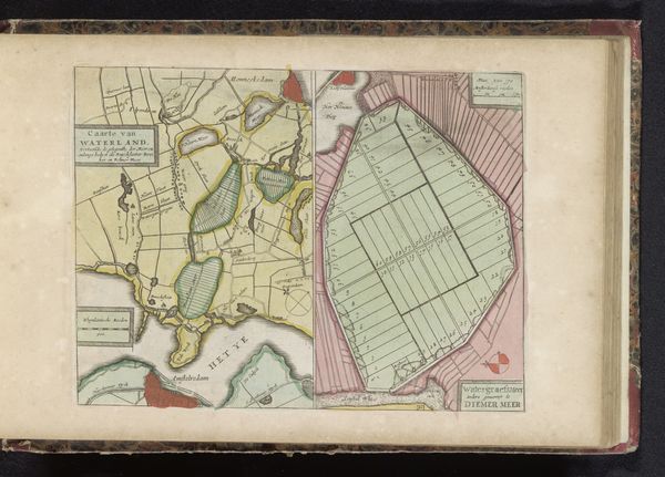
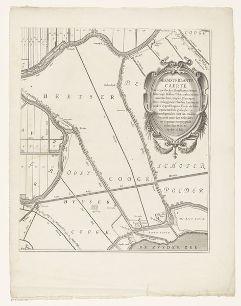
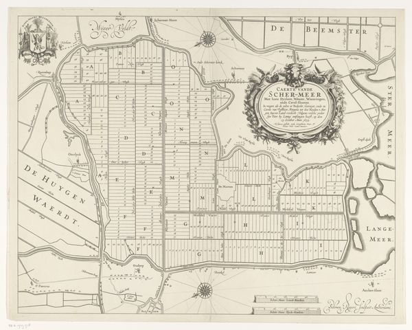
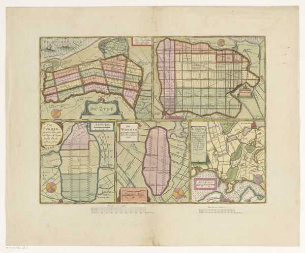
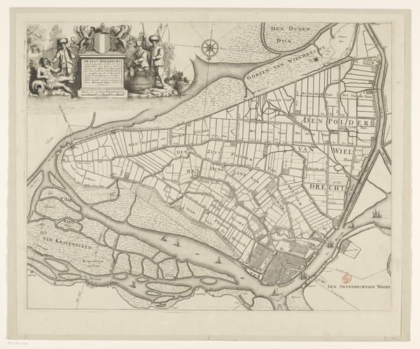
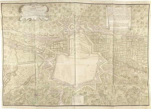
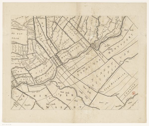
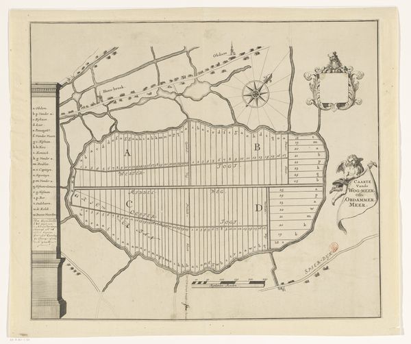
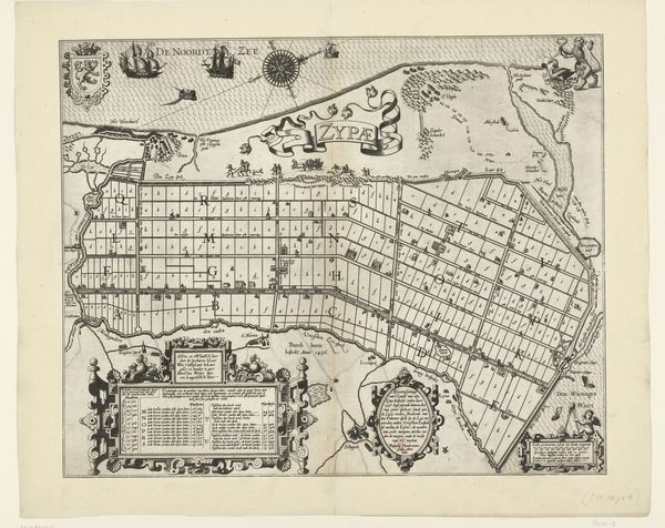
Jan van Jagen created this hand-colored map of the Haarlemmerhout, a public park near Haarlem, sometime between 1709 and 1800. During this era, the Dutch Republic was a major center for cartography, reflecting its global maritime power and mercantile interests. Maps like this weren't just tools for navigation; they were also powerful representations of space and control. The detailed layout emphasizes the park's design, showcasing how nature was being ordered and arranged for leisure and aesthetic enjoyment. The Haarlemmerhout was more than just a recreational space; it was a site where social class was performed and reinforced. Consider how access to such spaces was often determined by social standing. The map serves as a reminder of the complex ways in which power, space, and identity intersect. It invites us to reflect on who had the privilege to stroll through these meticulously planned landscapes and whose labor maintained them.
Comments
No comments
Be the first to comment and join the conversation on the ultimate creative platform.
