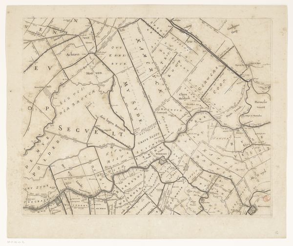
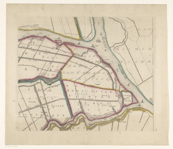
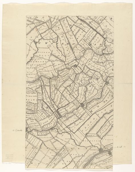
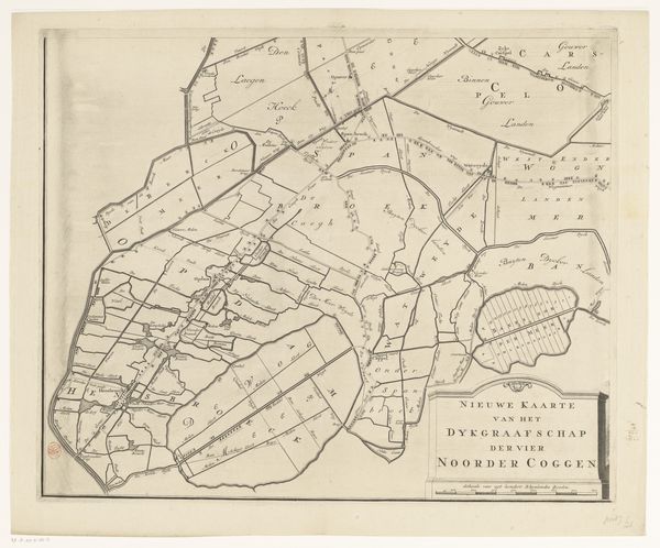
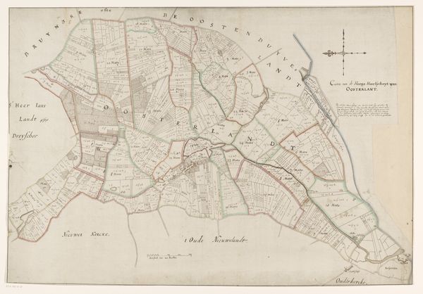
Kaart van het Hoogheemraadschap van Rijnland (vijftiende deel) 1647 - 1687
0:00
0:00
cornelisidanckerts
Rijksmuseum
print, etching, engraving
#
aged paper
#
dutch-golden-age
# print
#
etching
#
hand drawn type
#
landscape
#
etching
#
geometric
#
line
#
engraving
Dimensions: height 417 mm, width 564 mm
Copyright: Rijks Museum: Open Domain
Cornelis Danckerts created this map of the Rijnland region sometime in the mid-17th century using engraving. At this time, the Dutch Republic was at the height of its Golden Age, a period marked by unprecedented economic prosperity, scientific advancement, and artistic innovation. What you see here is more than just a geographical survey; it's a snapshot of a society deeply engaged in shaping its environment. The map delineates the complex system of waterways and polders—land reclaimed from the sea—that were crucial to the region's agricultural productivity and urban development. But this mastery over water also speaks to a complex relationship with nature. Consider the social implications of this landscape: Land ownership, water management, and wealth were intrinsically linked, creating a hierarchy that privileged certain groups. In a very real sense, this map charts power. This image reflects a society grappling with its identity. It's a testament to human ingenuity, but also a reminder of the social and ecological complexities embedded in the very ground we walk on.
Comments
No comments
Be the first to comment and join the conversation on the ultimate creative platform.
More like this