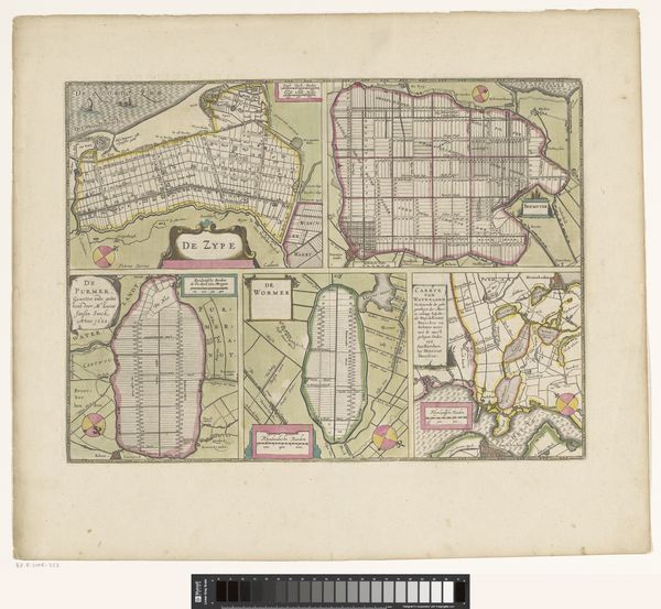
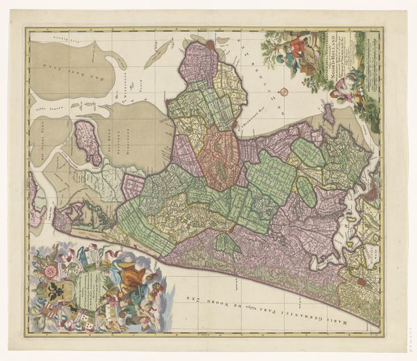
Blad met kaarten van de polders van de Zijpe, Beemster, Purmer, Wormer en een kaart van Waterland 1631 - 1682
0:00
0:00
pietervanderkeere
Rijksmuseum
drawing, print, paper, watercolor, ink
#
drawing
#
dutch-golden-age
#
ink paper printed
# print
#
landscape
#
paper
#
watercolor
#
ink
#
cityscape
Dimensions: height 348 mm, width 470 mm
Copyright: Rijks Museum: Open Domain
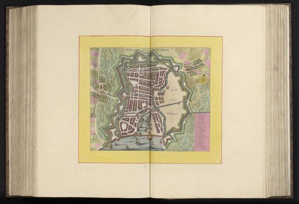
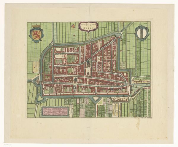
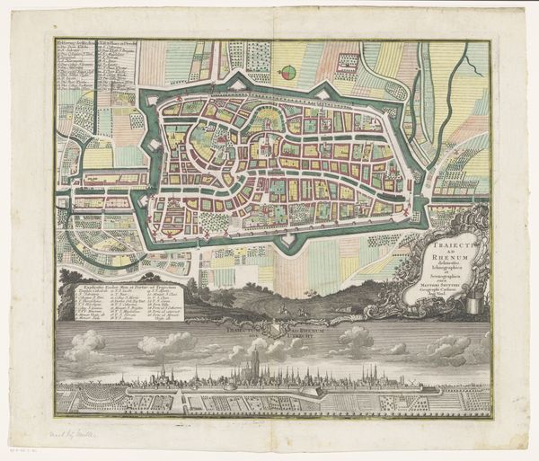
Pieter van der Keere produced this map of the polders of Zijpe, Beemster, Purmer, Wormer, and Waterland in the Dutch Golden Age. This detailed map reflects the immense land reclamation projects undertaken in the Netherlands, driven by economic necessity and technological innovation. The precise geometric divisions of the polders represent the Dutch mastery of hydraulic engineering and its transformation of the landscape. It visualizes a society that challenged the natural order, reshaping its environment for agriculture and settlement. This map is not merely a geographical tool but a symbol of Dutch identity and ingenuity. It speaks to the socio-political context of the time, where land ownership and control were central to power and prosperity. Historical societies and engineering reports can provide further insights into the technical and social impacts of these land reclamation projects. The map invites us to consider how societies transform their environments and the values embedded in such endeavors.
Comments
No comments
Be the first to comment and join the conversation on the ultimate creative platform.
More like this