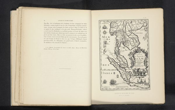
Reproductie van een landkaart van een deel van Thailand met de Menam before 1895
0:00
0:00
drawing, print, engraving
#
drawing
# print
#
asian-art
#
landscape
#
line
#
engraving
Dimensions: height 178 mm, width 121 mm
Copyright: Rijks Museum: Open Domain
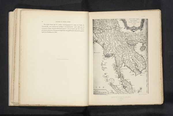
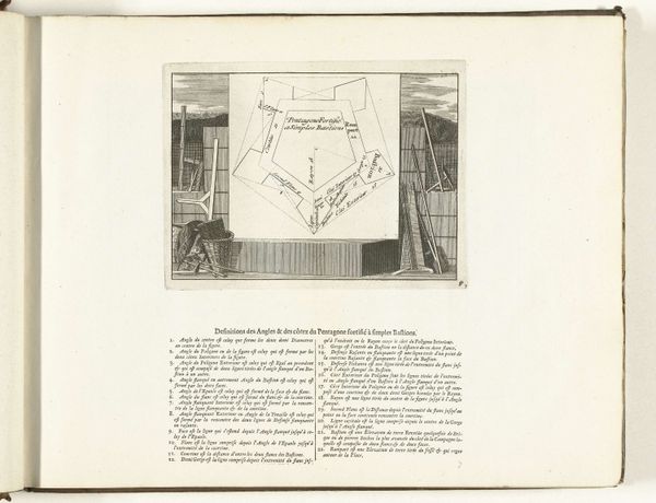
This reproduction of a map of Thailand, depicting the Menam River, was made by Michel Berthaud in the late 19th or early 20th century. It’s printed on paper, a material that had become relatively inexpensive by that time, thanks to industrial production. The map’s crisp lines and precise lettering suggest it was created using engraving or etching, processes that require skilled labor and specialized tools. Think about the level of care and attention to detail that would be needed to create these maps. These are not unique works of art, but part of a larger project of gathering knowledge. Printed maps like this one played a crucial role in European exploration and colonization, enabling the exploitation of resources. The map’s ability to represent space accurately gives power, turning the world into a commodity to be understood and controlled. So, next time you look at a map, remember that it is not just a neutral representation of the world, but a product of specific historical, economic, and social forces.
Comments
No comments
Be the first to comment and join the conversation on the ultimate creative platform.
More like this