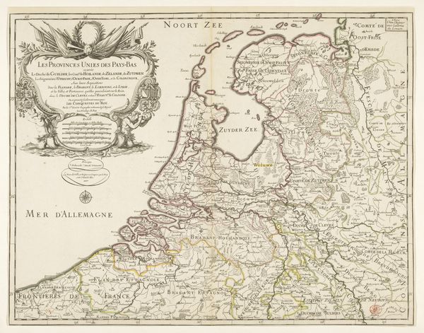
print, engraving
# print
#
cityscape
#
history-painting
#
academic-art
#
engraving
Dimensions: height 344 mm, width 488 mm
Copyright: Rijks Museum: Open Domain
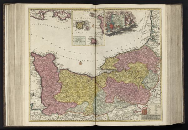
Editor: We're looking at a print titled "Kaart van het oorlogstoneel in de Oostenrijkse Nederlanden, 1794" made in 1794 by Cornelis van Baarsel. It's an engraved map and my initial thought is how fascinating it is to see geographic representation employed with a martial purpose, so different from maps used for exploration. What does this work bring to mind for you? Curator: Well, I immediately think of the socio-political climate in Europe at the end of the 18th century. This map wasn't simply about geography; it was a strategic tool. It's a material manifestation of the conflict, shaping how people understood the war in the Austrian Netherlands and their place within it. What kind of viewer would've been using it? Editor: Probably military strategists, politicians... anyone with a stake in the war's outcome. I suppose it wasn't meant for purely aesthetic appreciation but as a guide to real-world events. Curator: Precisely. Maps like these directly influenced public opinion and even governmental policy. The choices made in its construction—the inclusion or omission of details, the coloring of territories—these were all political acts meant to shape perceptions and legitimize certain actions. Editor: So, you're saying that even something seemingly objective like a map can be a form of propaganda? Curator: Absolutely. Think about how the placement of place names or the thickness of borders can imply power dynamics and territorial claims. Also, the map is "academic art" so what do you make of this kind of official, public image-making being considered “art” at all? Editor: That’s a good question. Perhaps, the skill and technique elevate the print and give the message additional power. It’s clear that history painting and maps aren't so different after all! Curator: I agree, and I find it fascinating how visual media shapes the way wars are understood and remembered. Editor: Definitely! This has really shifted my perspective on historical maps; it's more than just lines and names, it's a political statement frozen in time.
Comments
No comments
Be the first to comment and join the conversation on the ultimate creative platform.
More like this