print, engraving
#
baroque
# print
#
cityscape
#
engraving
Dimensions: height 271 mm, width 345 mm
Copyright: Rijks Museum: Open Domain
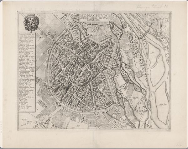
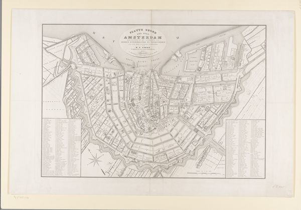
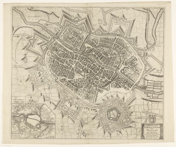
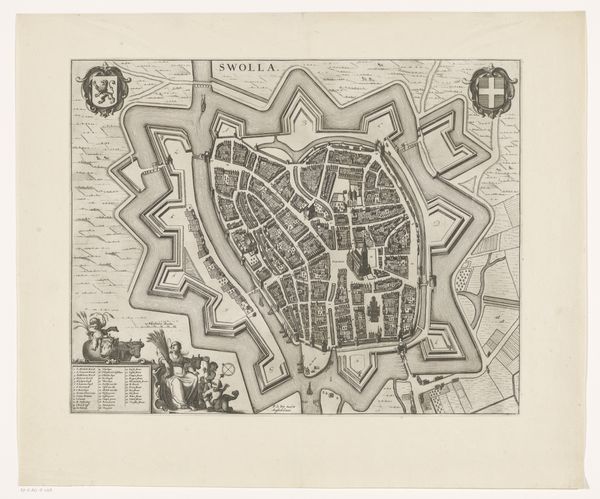
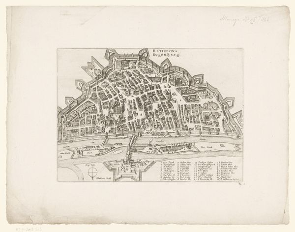
Curator: This engaging print from 1743, entitled "Plattegrond van Groningen," was created by Hendrik Hofsnider and showcases the cityscape through a meticulously detailed engraving. Editor: My initial impression is how fortified the city seems; it radiates strength, almost like a geometric fortress. The precision in the lines conveys power. Curator: Indeed. City maps from this era are loaded with social and political messaging. Consider the context: the Baroque period, burgeoning military power, and urban planning were increasingly strategic. A map like this serves not just as a geographical guide, but as a symbolic assertion of control and order, something that reinforces hierarchical societal structures. Editor: And Hofsnider does a remarkable job with symbolism. See how the fortifications extend outward, mimicking a star? The radiating structure could symbolize a beacon of power, reflecting a self-assuredness that the city's influence stretches far beyond its walls. Waterways weave within and without - symbolic connections, arteries of commerce, and necessary features for defence. Curator: That reading aligns well with how urban centers often become emblems of national identity. The deliberate design we observe wasn’t purely functional. I would suggest this map attempts to solidify Groningen's image, perhaps against anxieties concerning invasion, as well as reflecting a desired cultural identity rooted in organization. The names are listed in small boxes like labels for each area - this is a way of reinforcing their importance as places to visit, trade, or live. Editor: Do you also think this map functions almost like a collective memory trigger? By seeing this "ideal" depiction, its original viewers could perhaps access feelings about stability, belonging and even aspirations that were tied directly to how the city was perceived and its future imagined. Curator: Absolutely. By carefully curating the image of the city, Hofsnider and his patrons influenced not only the contemporary understanding of Groningen but also its enduring legacy. It presents a deliberate vision for future generations. Editor: Thank you. I hadn't fully considered the element of collective aspiration, I see it now. The city plan almost reads as an assertion of dominance in that sense. Curator: I appreciate your symbolic readings! It makes me see the potential for historical counter-narratives within this otherwise very architecturally driven image. It underlines for me, the way images are political tools for social organisation and reinforcement.
Comments
No comments
Be the first to comment and join the conversation on the ultimate creative platform.
More like this