graphic-art, print, etching, engraving
#
graphic-art
#
dutch-golden-age
# print
#
etching
#
geometric
#
cityscape
#
engraving
Dimensions: height 127 mm, width 145 mm
Copyright: Rijks Museum: Open Domain
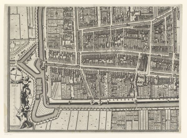
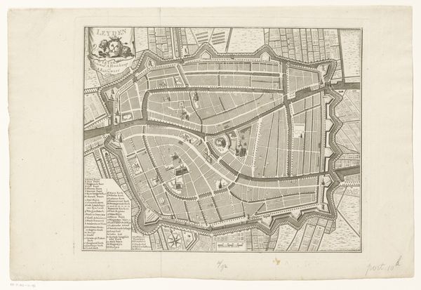
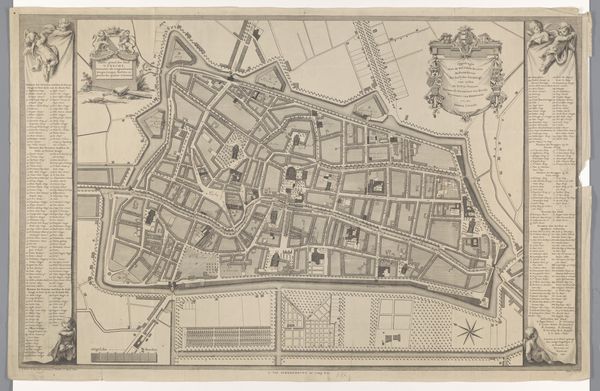
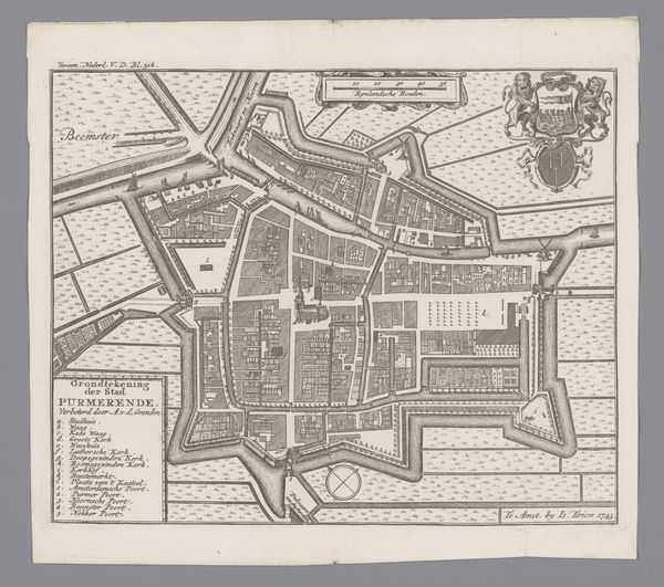
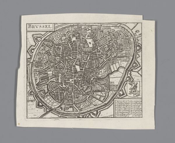
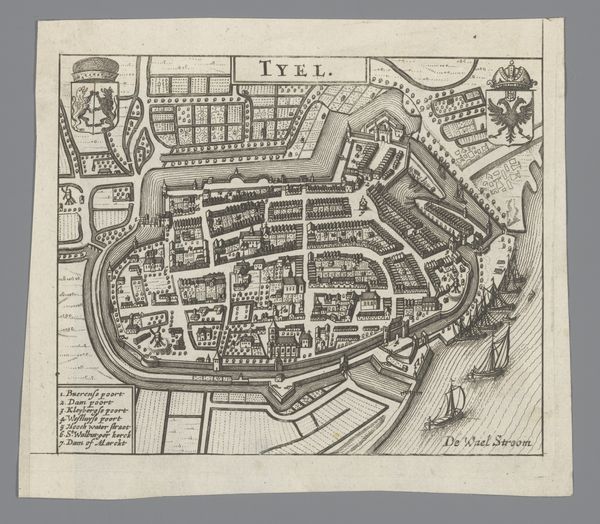
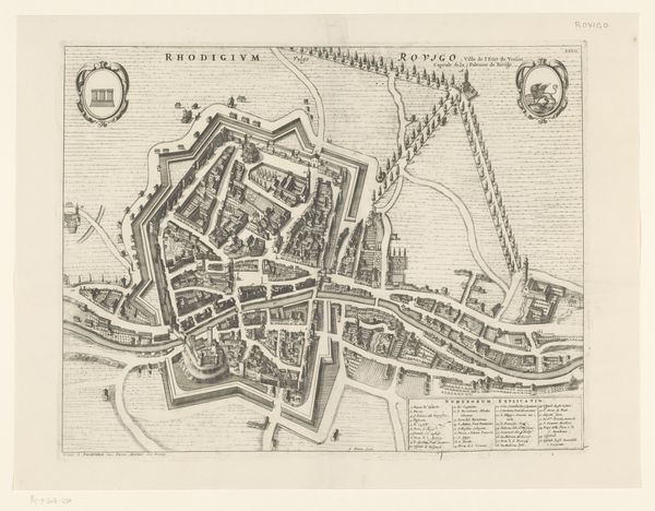
This is an anonymous map of Gouda made using engraving. Its creation and reception are shaped by the city's economic and political history. In the Dutch Golden Age, cities like Gouda were centers of trade and culture, yet this prosperity wasn't shared equally. Class divisions were stark, and the map, with its precise delineation of properties, reflects the social hierarchy of the time. While we don't know the artist, their work exists in the context of Dutch cartography, which served both practical and symbolic purposes. "Maps are a way of organizing space, but also of asserting control and power," notes art historian Svetlana Alpers, "they present a particular vision of the world." The inclusion of religious sites alongside marketplaces points to the interwoven nature of faith and commerce. We can consider how the map itself played a role in shaping the identity of Gouda, reinforcing certain narratives. How might it have been used to promote civic pride or attract new residents and investors?
Comments
No comments
Be the first to comment and join the conversation on the ultimate creative platform.
More like this