About this artwork
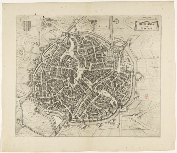
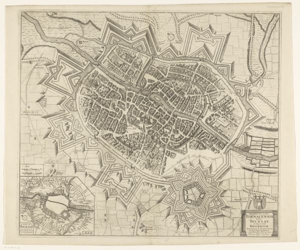
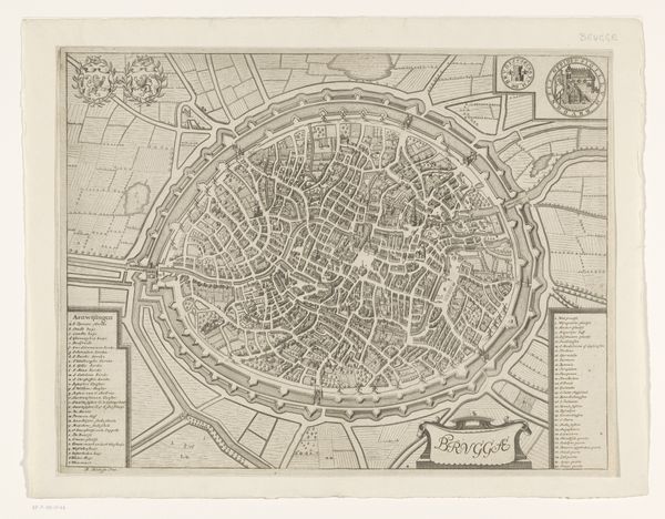
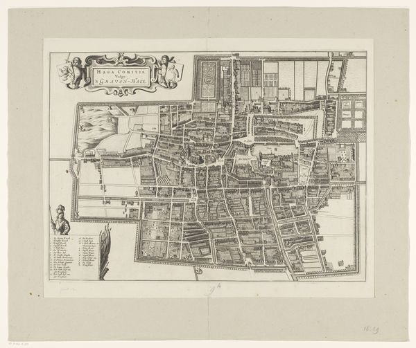
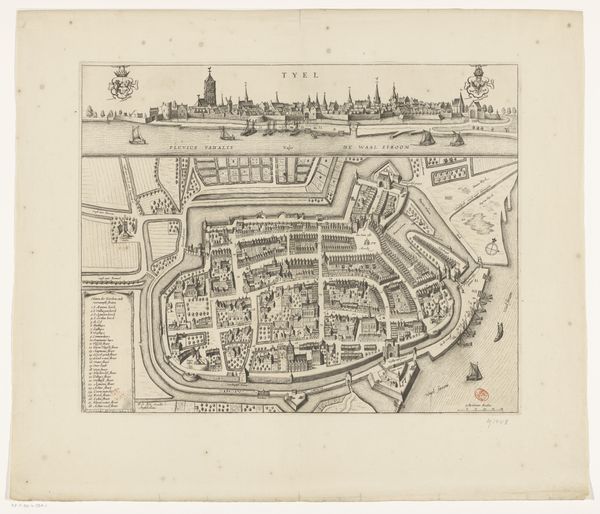
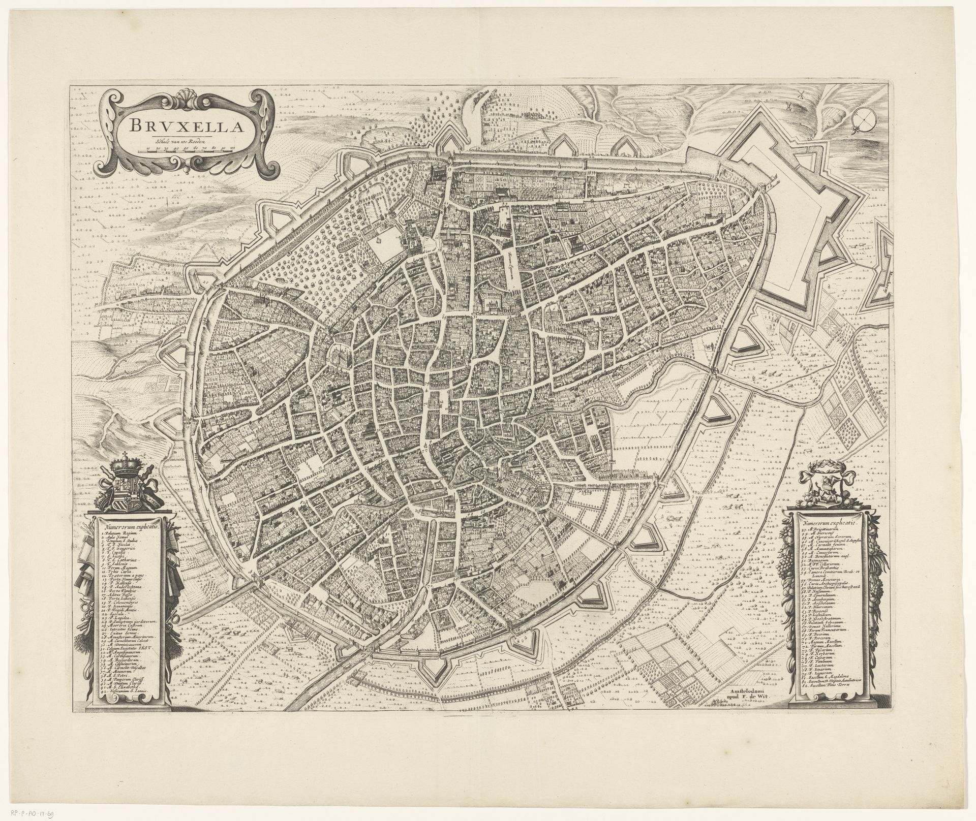
This is an anonymous map of Brussels, an etching made in unknown date. Look closely, and you’ll notice that the city is contained within walls, its shape dictated by fortifications and urban planning. Maps have long been powerful symbols. They represent not only geographical space but also the aspirations, anxieties, and power structures of the societies that create them. Consider the medieval ‘mappa mundi,’ where Jerusalem was often placed at the center, reflecting a spiritual and cosmological worldview. Here in Brussels, the emphasis on the city's layout and defensive structures speaks to the growing importance of urban centers, trade, and geopolitical power. The very act of mapping is a way of imposing order on chaos, a psychological need that extends far beyond the practical purpose of navigation. Like mandalas or labyrinths, maps invite us to explore our place in the world, both literally and figuratively. The map, in its lines and symbols, is a mirror reflecting back our own quest for understanding and control.
Artwork details
- Medium
- print, etching, engraving
- Dimensions
- height 431 mm, width 560 mm
- Location
- Rijksmuseum
- Copyright
- Rijks Museum: Open Domain
Tags
Comments
Share your thoughts
About this artwork
This is an anonymous map of Brussels, an etching made in unknown date. Look closely, and you’ll notice that the city is contained within walls, its shape dictated by fortifications and urban planning. Maps have long been powerful symbols. They represent not only geographical space but also the aspirations, anxieties, and power structures of the societies that create them. Consider the medieval ‘mappa mundi,’ where Jerusalem was often placed at the center, reflecting a spiritual and cosmological worldview. Here in Brussels, the emphasis on the city's layout and defensive structures speaks to the growing importance of urban centers, trade, and geopolitical power. The very act of mapping is a way of imposing order on chaos, a psychological need that extends far beyond the practical purpose of navigation. Like mandalas or labyrinths, maps invite us to explore our place in the world, both literally and figuratively. The map, in its lines and symbols, is a mirror reflecting back our own quest for understanding and control.
Comments
Share your thoughts